
Related Images


Download:
| Tiny | 158x128 | View | Download |
| Small | 317x256 | View | Download |
| Medium | 635x512 | View | Download |
| Original png | 1270x1024 | View | Download |
| Original as jpg | 1270x1024 | View | Download |
This image was acquired from
wikimedia. It was marked as Public Domain or CC0 and is free to use. To verify, go to the source and check the information there.
Looking for more info about this image?
Try a Google Reverse Image Search for it.
Try a Google Reverse Image Search for it.
Keywords from Image Description:
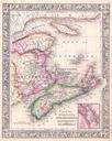
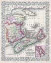
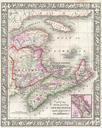
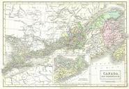
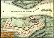
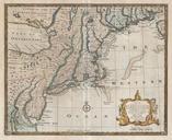
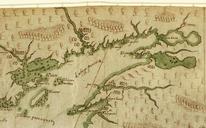
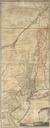
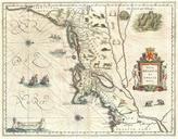
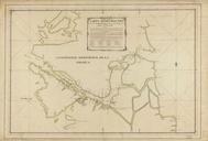
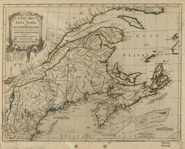
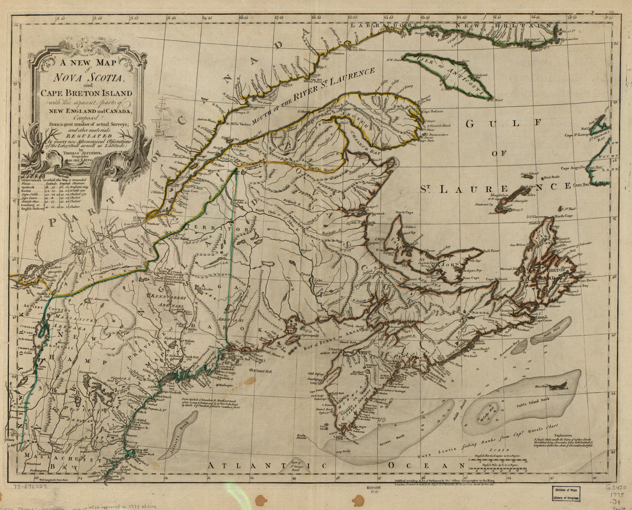
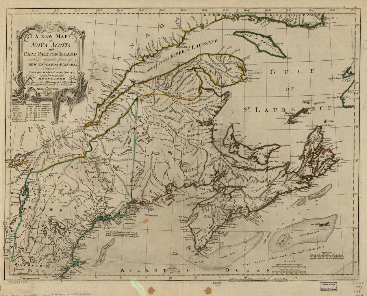
A New Map of Nova Scotia and Cape Breton Island With the Adjacent Parts of New England and Canada Composed from Great Number of Actual Surveys and Other Materials Regulated by Many New WDL. Artwork ru fr Jefferys Thomas en Jefferys Thomas zh pt Jefferys Thomas ar es Jefferys Thomas ru fr


