
Related Images


Download:
| Tiny | 66x128 | View | Download |
| Small | 132x256 | View | Download |
| Medium | 264x512 | View | Download |
| Large | 528x1024 | View | Download |
| Original png | 854x1655 | View | Download |
| Original as jpg | 854x1655 | View | Download |
This image was acquired from
wikimedia. It was marked as Public Domain or CC0 and is free to use. To verify, go to the source and check the information there.
Looking for more info about this image?
Try a Google Reverse Image Search for it.
Try a Google Reverse Image Search for it.
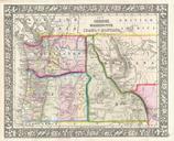
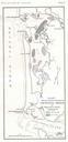
Keywords from Image Description:
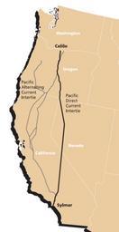
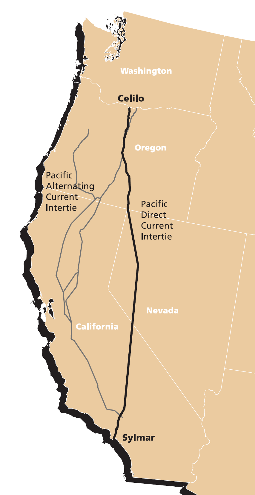
Pacific intertie geographic map. Map of Pacific Intertie HVDC electrical transmission line from Celilo Converter Station near The Dalles Oregon to the Sylmar Converter Station near Los Angeles extracted from transmission bpa gov pdf source document last modified image extracted Bonneville Power Administration PDUSGov Maps of