Related Images

Download:
| Tiny | 157x128 | View | Download |
| Small | 315x256 | View | Download |
| Medium | 630x512 | View | Download |
| Large | 1260x1024 | View | Download |
| Original | 3500x2844 | View | Download |
This image was acquired from
wikimedia. It was marked as Public Domain or CC0 and is free to use. To verify, go to the source and check the information there.
Looking for more info about this image?
Try a Google Reverse Image Search for it.
Try a Google Reverse Image Search for it.
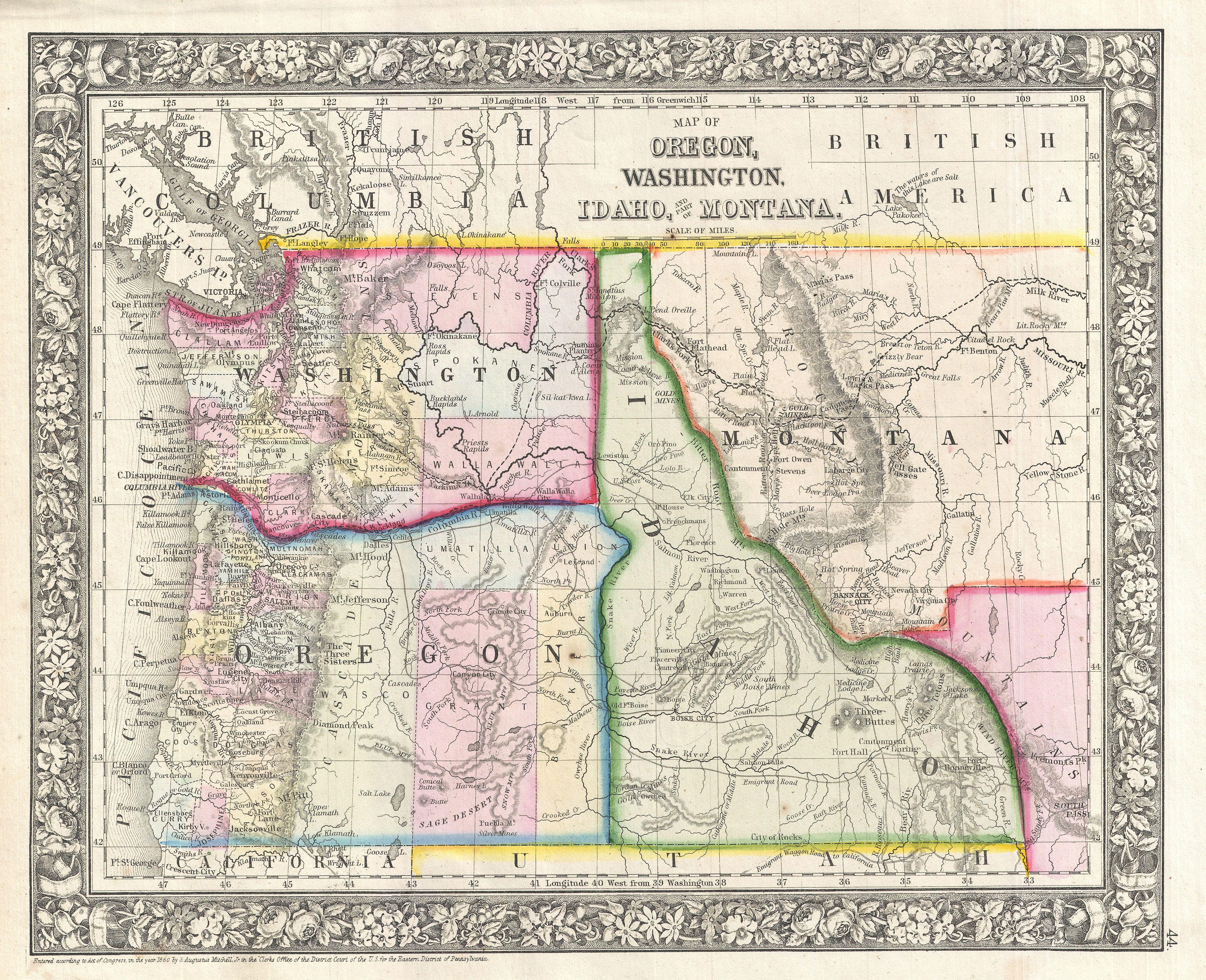
Keywords from Image Description:
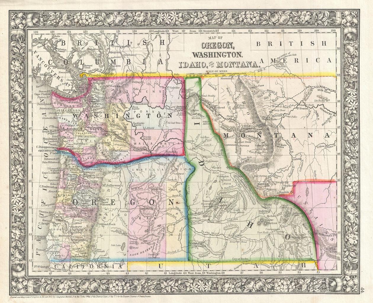
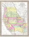
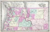
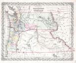
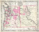
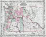
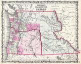
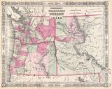
Mitchell Map of Washington Oregon Idaho and Montana Geographicus WashingtonOregonIdahomitchell. beautiful example of Mitchell Junior map of Washington Oregon Idaho and Montana Color coded according to county and territory Identifies the proposed Stevens route for the Northern Pacific Railroad as well as the Emigrant Road Gold