
Related Images


Download:
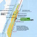
| Tiny | 126x128 | View | Download |
| Small | 252x256 | View | Download |
| Medium | 505x512 | View | Download |
| Original | 737x746 | View | Download |
This image was acquired from
wikimedia. It was marked as Public Domain or CC0 and is free to use. To verify, go to the source and check the information there.
Looking for more info about this image?
Try a Google Reverse Image Search for it.
Try a Google Reverse Image Search for it.
Keywords from Image Description:
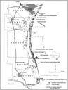
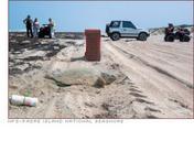
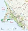
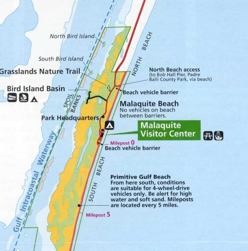
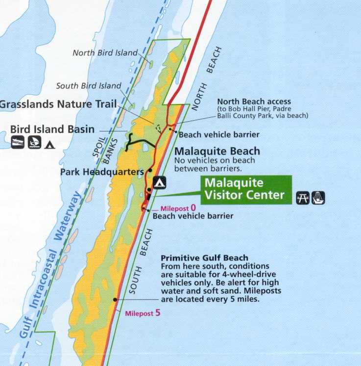
Padre Island National Seashore NPS map. Photos and maps related to Padre Island Padre Island National Seashore NPS map United States Government USGS Dept of Ag NOAA NPS FAA uploaded by Johntex Original work of the US Federal Government public domain PDUSGov Padre Island Padre Island National Seashore Maps of Texas Maps of United