
Related Images


Download:
| Tiny | 148x128 | View | Download |
| Small | 296x256 | View | Download |
| Medium | 593x512 | View | Download |
| Large | 1186x1024 | View | Download |
| Original | 2609x2252 | View | Download |
This image was acquired from
wikimedia. It was marked as Public Domain or CC0 and is free to use. To verify, go to the source and check the information there.
Looking for more info about this image?
Try a Google Reverse Image Search for it.
Try a Google Reverse Image Search for it.
Keywords from Image Description:
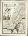
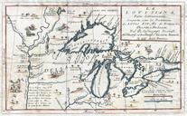
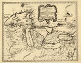
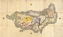
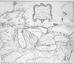
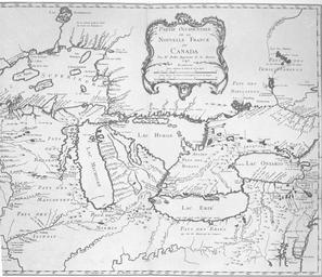
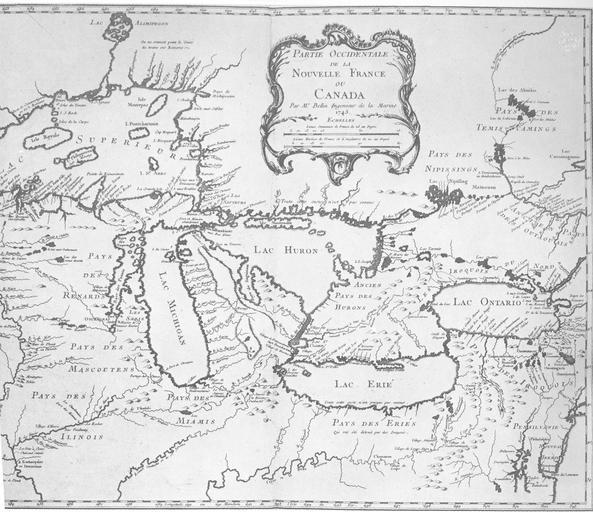
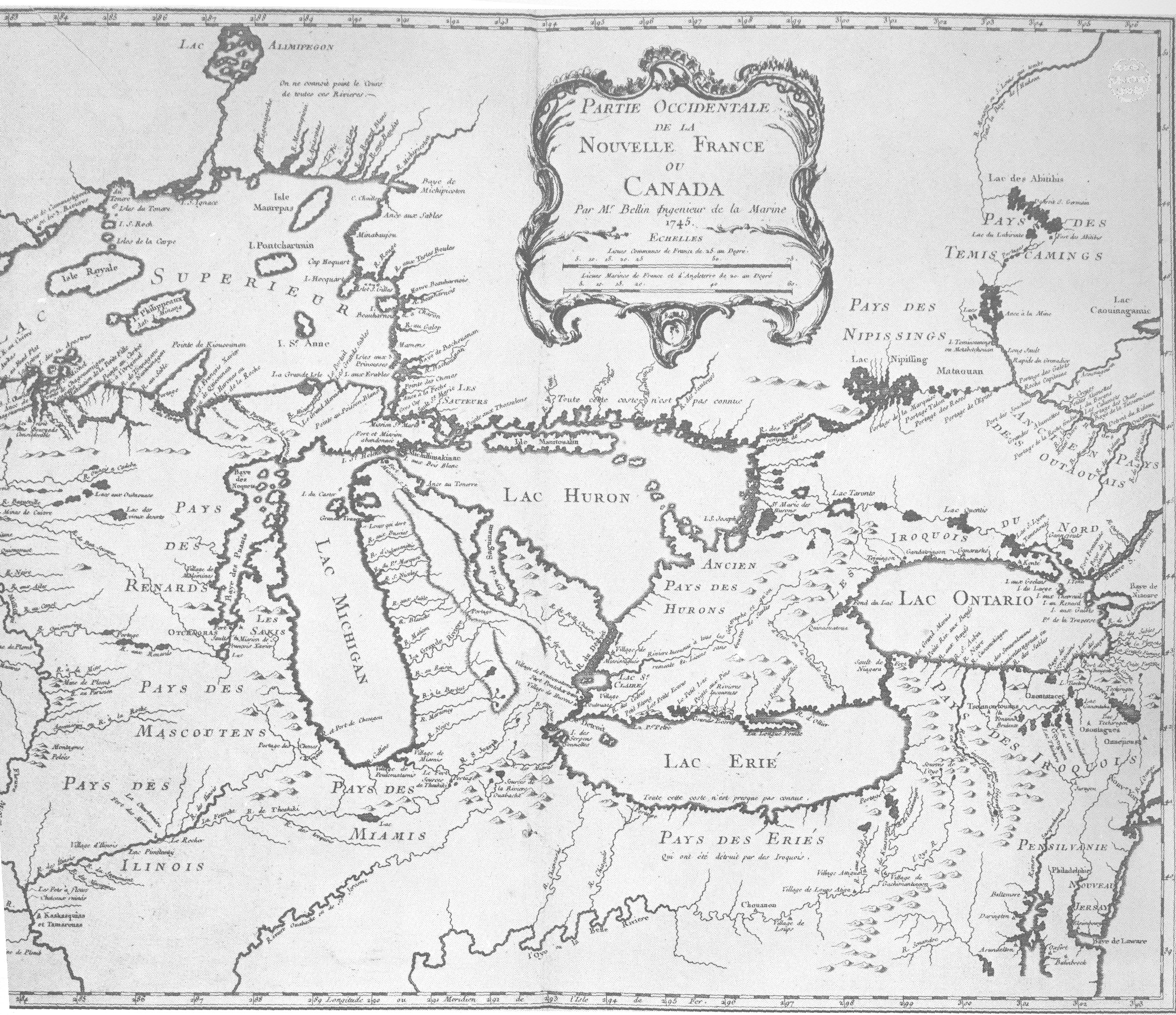
PaysEnHaut. Carte de la rgion des Grands Lacs sous le rgime franais de la NouvelleFrance Maps of the Great Lakes region under the New France administration Creator JacquesNicolas Bellin PDold Maps by JacquesNicolas Bellin Old maps of New France Old maps of the Great Lakes Canada in the United States in the Old maps of Canada maps