
Related Images


Download:
| Tiny | 109x128 | View | Download |
| Small | 218x256 | View | Download |
| Medium | 437x512 | View | Download |
| Large | 874x1024 | View | Download |
| Original tiff | 4048x4739 | View | Download |
| Original as jpg | 4048x4739 | View | Download |
This image was acquired from
wikimedia. It was marked as Public Domain or CC0 and is free to use. To verify, go to the source and check the information there.
Looking for more info about this image?
Try a Google Reverse Image Search for it.
Try a Google Reverse Image Search for it.
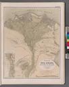
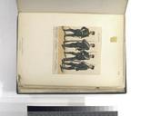
Keywords from Image Description:
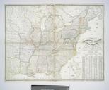
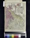
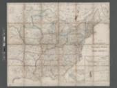
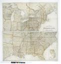
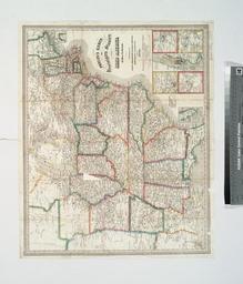
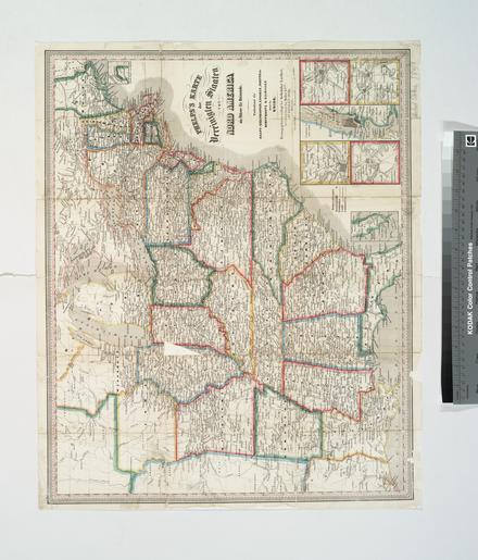
Phelps's Karte der Vereinigten Staaten von Nord America ein Fhrer fr Reisende enthaltend die Haupteisenbahnen Canaele Routen der Dampfboote Eilwagen durch die Union NYPL b. en Includes insets of Northern Maine Southern Florida Philadelphia Baltimore New York Boston Pittsburgh St Louis Cincinnati and Chicago Prime meridian Washington