
Related Images


Download:
| Tiny | 170x128 | View | Download |
| Small | 340x256 | View | Download |
| Medium | 681x512 | View | Download |
| Large | 1362x1024 | View | Download |
| Original tiff | 10328x7760 | View | Download |
| Original as jpg | 10328x7760 | View | Download |
This image was acquired from
wikimedia. It was marked as Public Domain or CC0 and is free to use. To verify, go to the source and check the information there.
Looking for more info about this image?
Try a Google Reverse Image Search for it.
Try a Google Reverse Image Search for it.
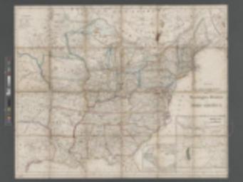
Keywords from Image Description:
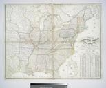
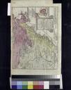
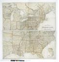
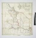
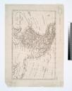
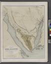
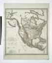
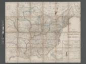
Neueste Postu. Eisenbahn Karte der Vereinigten Staaten von NordAmerica NYPL b. en Relief shown by hachures Prime meridian Ferro Shows east of Rocky Mountains Includes inset of Central America and of the western United States indicating the gold region in California Insets Oregon Utah und Californien Freistaaten von Mit America Mapping