
Related Images


Download:
| Tiny | 180x128 | View | Download |
| Small | 361x256 | View | Download |
| Medium | 722x512 | View | Download |
| Original | 1296x918 | View | Download |
This image was acquired from
wikimedia. It was marked as Public Domain or CC0 and is free to use. To verify, go to the source and check the information there.
Looking for more info about this image?
Try a Google Reverse Image Search for it.
Try a Google Reverse Image Search for it.
Keywords from Image Description:
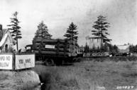
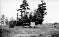
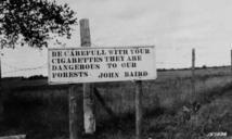
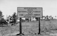
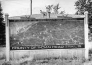
Photograph of Sign Map of Western Portion of Upper Peninsula of Michigan NARA . Scope and content Original caption Sign map of western portion of Upper Peninsula of Michigan located at junction of Highway and General notes Local identifier Department of Agriculture Forest Service Region Eastern Region Most Recent File PhotographofSignMapofWesternPortionofUpperPeninsulaofMichiganNARA