Related Images

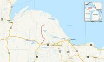
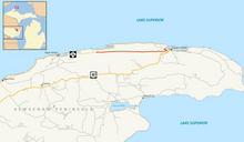


Download:
| Tiny | 212x128 | View | Download |
| Small | 424x256 | View | Download |
| Medium | 848x512 | View | Download |
| Large | 1697x1024 | View | Download |
| Original | 3000x1810 | View | Download |
This image was acquired from
wikimedia. It was marked as Public Domain or CC0 and is free to use. To verify, go to the source and check the information there.
Looking for more info about this image?
Try a Google Reverse Image Search for it.
Try a Google Reverse Image Search for it.
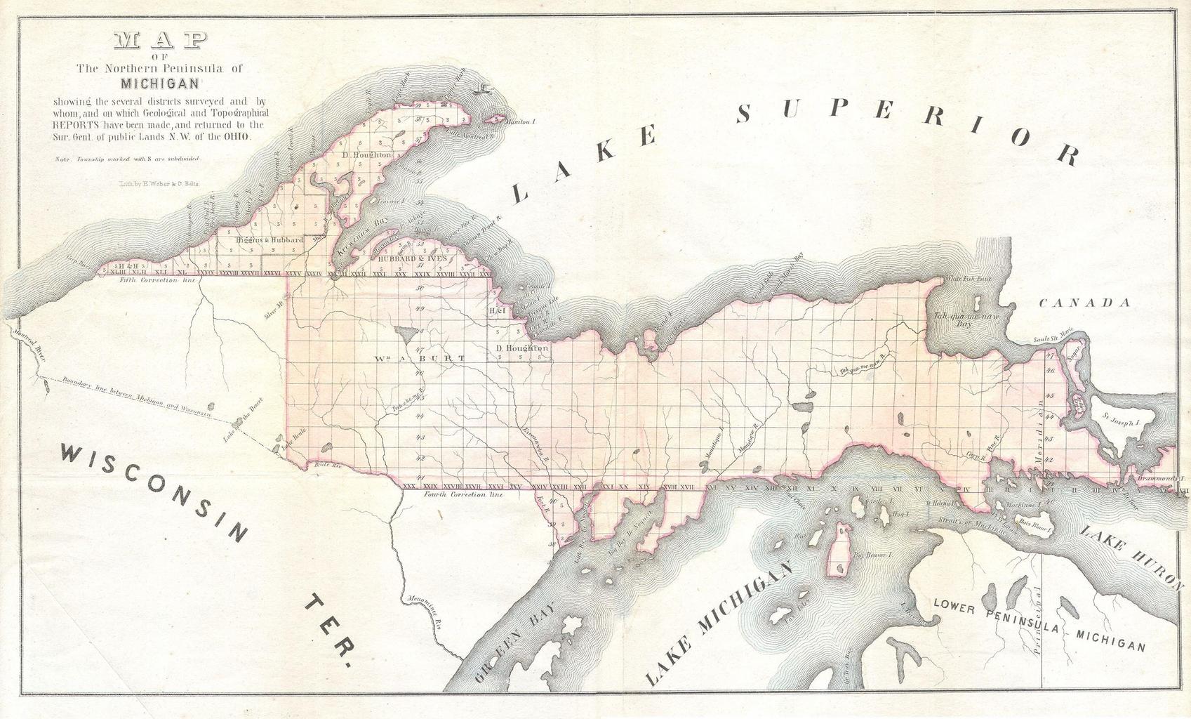
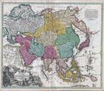
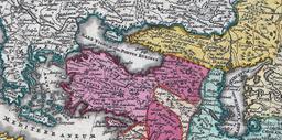
Keywords from Image Description:
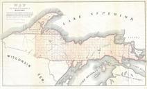
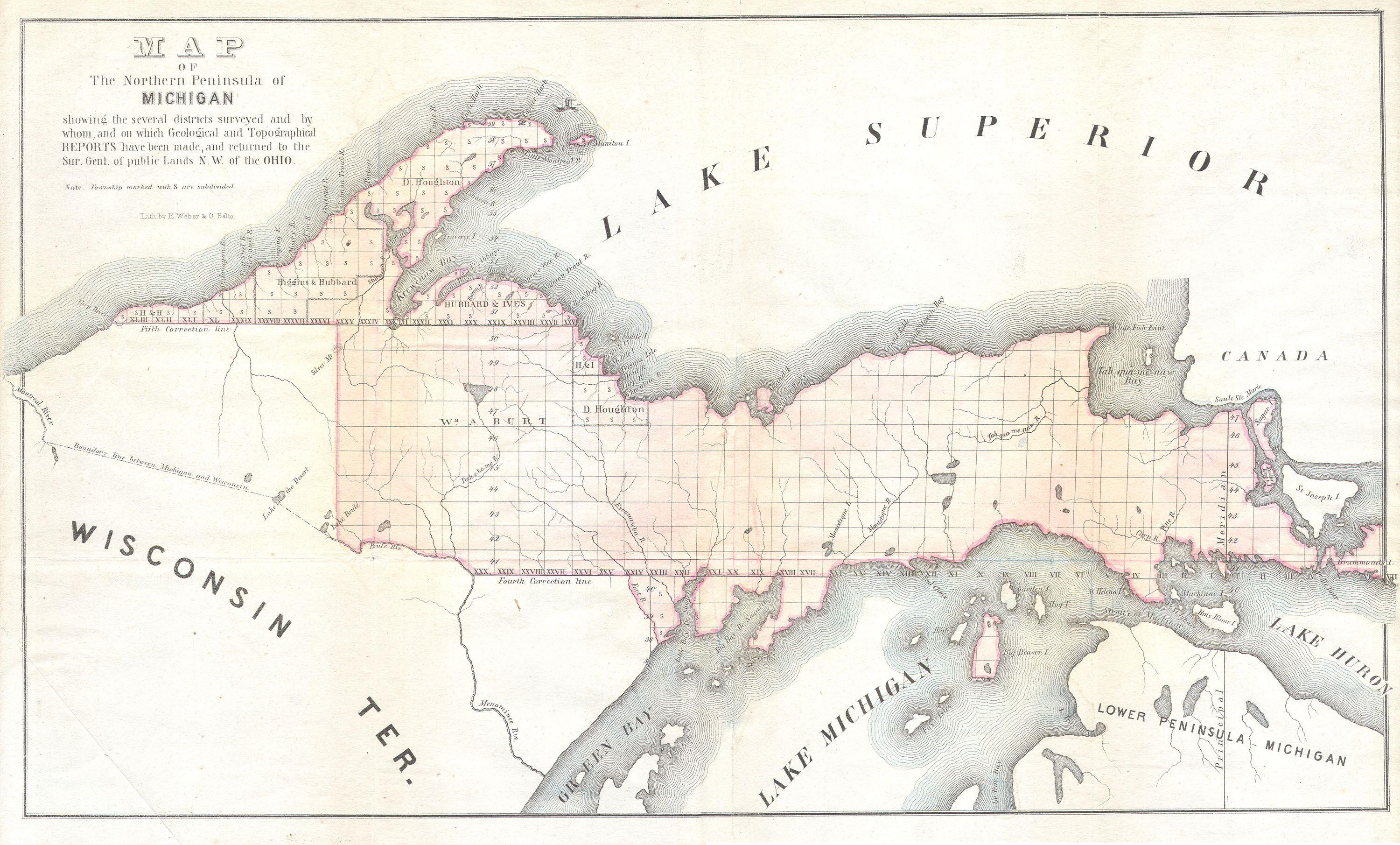
Land Survey Map of Michigan Upper Peninsula Geographicus Michiganls. This is in unusual General Land Survey map of the Northern Peninsula of Michigan Offers considerable decorative and topographic detail for GLS map Small steam ship depicted of Manitou Island By Weber and Balto Size in object history credit line accession number