Related Images


Download:
| Tiny | 180x128 | View | Download |
| Small | 361x256 | View | Download |
| Medium | 723x512 | View | Download |
| Large | 1446x1024 | View | Download |
| Original png | 3378x2392 | View | Download |
| Original as jpg | 3378x2392 | View | Download |
This image was acquired from
wikimedia. It was marked as Public Domain or CC0 and is free to use. To verify, go to the source and check the information there.
Looking for more info about this image?
Try a Google Reverse Image Search for it.
Try a Google Reverse Image Search for it.
Keywords from Image Description:
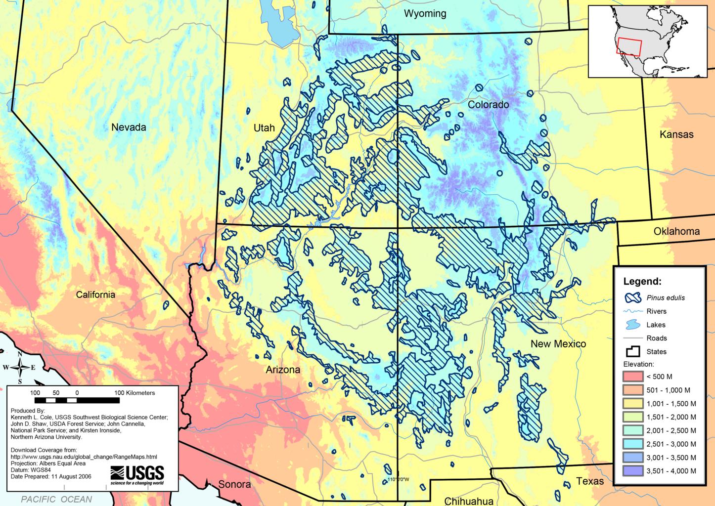
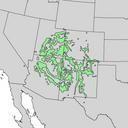
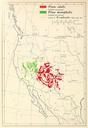
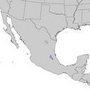
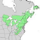
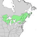
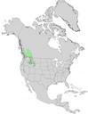
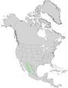
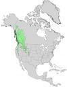
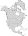
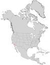
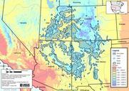
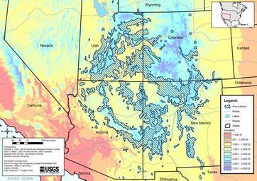
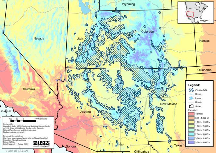
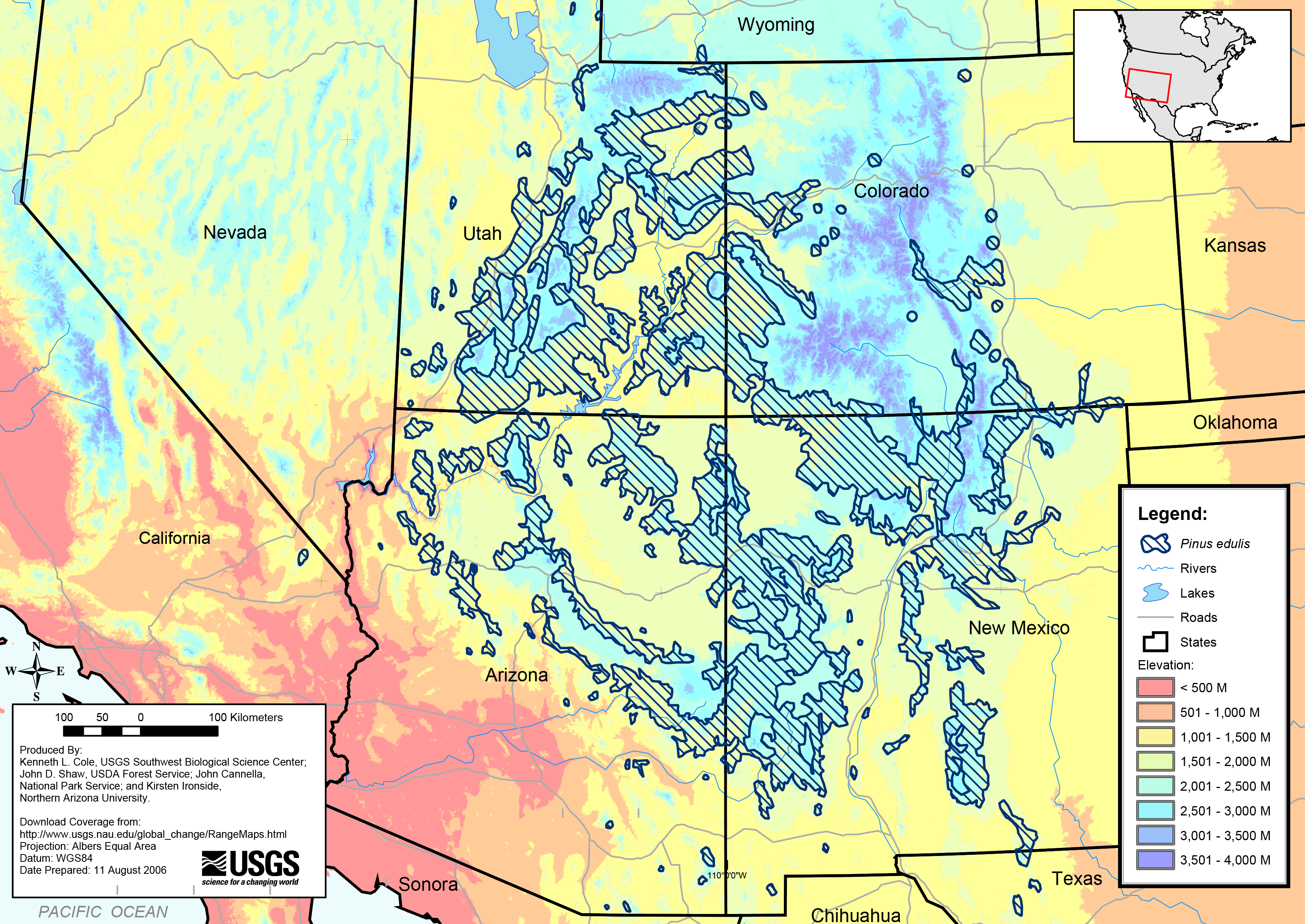
Pinus edulis range map. en Pinus edulis range map wr usgs gov asp USGS Colorado Plateau Research Station Digitized Range Maps for Modern Plants of the Southwest USGS Global Change Research Program project Past recent and st century vegetation change in the arid southwest Kenneth Cole USGS Southwest Biological Science Center John