
Related Images


Download:
| Tiny | 128x128 | View | Download |
| Small | 256x256 | View | Download |
| Medium | 512x512 | View | Download |
| Original | 800x800 | View | Download |
This image was acquired from
wikimedia. It was marked as Public Domain or CC0 and is free to use. To verify, go to the source and check the information there.
Looking for more info about this image?
Try a Google Reverse Image Search for it.
Try a Google Reverse Image Search for it.
Keywords from Image Description:
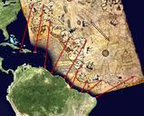
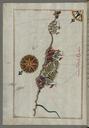
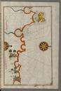
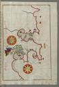
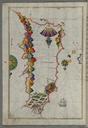
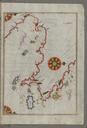
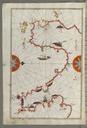
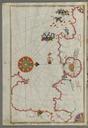
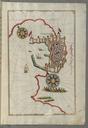
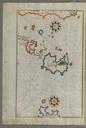
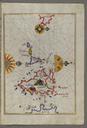
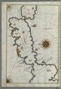
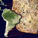
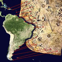
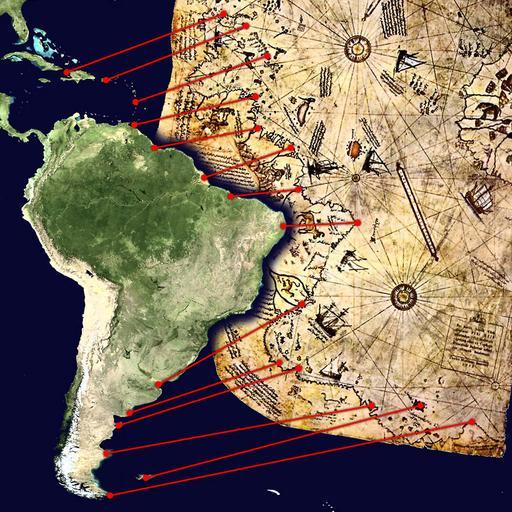
Piri Reis map interpretation. Mgliche Interpretation des Sdteils der Karte des Piri Reis Possible interpretation of the Piri Reis map Central and South America on the left North Africa in the upper right south Atlantic Ocean in the middle Markers from north to south Haiti and Dominican Republic Hispaniola island Puerto Rico Lesser