Related Images


Download:
| Tiny | 105x128 | View | Download |
| Small | 210x256 | View | Download |
| Medium | 421x512 | View | Download |
| Large | 843x1024 | View | Download |
| Original tiff | 3968x4819 | View | Download |
| Original as jpg | 3968x4819 | View | Download |
This image was acquired from
wikimedia. It was marked as Public Domain or CC0 and is free to use. To verify, go to the source and check the information there.
Looking for more info about this image?
Try a Google Reverse Image Search for it.
Try a Google Reverse Image Search for it.
Keywords from Image Description:
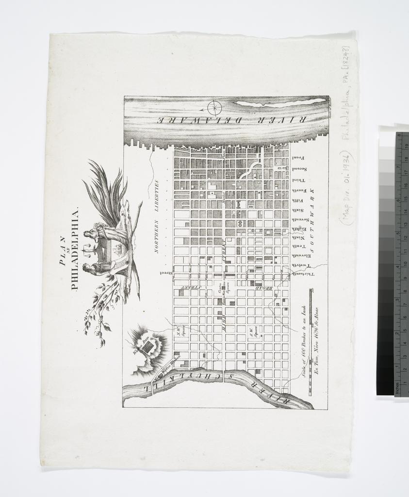
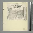
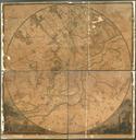
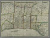
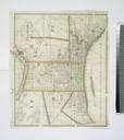
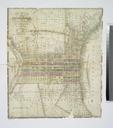
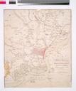
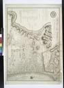
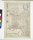
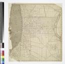
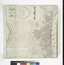
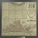
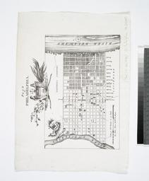
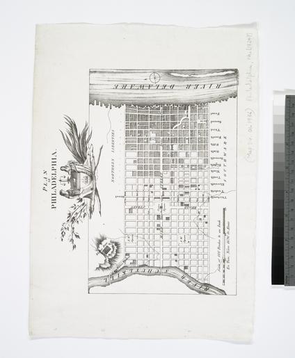
Plan af Philadelphia NYPL b. en Covers area between Vine Street on the north and Cedar Street on the south and between Schuylkill River on the west and Delaware River on the east Includes decorative cartouche Mercator Society Fund National Endowment for the Humanities Grant for Access to Early Maps of the Middle Atlantic Seaboard