
Related Images


Download:
| Tiny | 101x128 | View | Download |
| Small | 202x256 | View | Download |
| Medium | 404x512 | View | Download |
| Large | 808x1024 | View | Download |
| Original | 4976x6300 | View | Download |
This image was acquired from
wikimedia. It was marked as Public Domain or CC0 and is free to use. To verify, go to the source and check the information there.
Looking for more info about this image?
Try a Google Reverse Image Search for it.
Try a Google Reverse Image Search for it.
Keywords from Image Description:
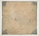
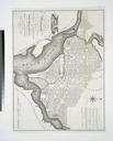
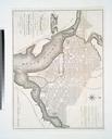
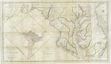
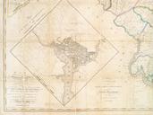
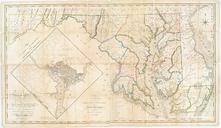
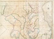
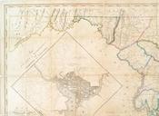
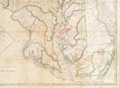
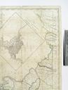
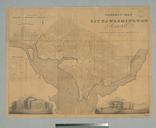
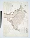
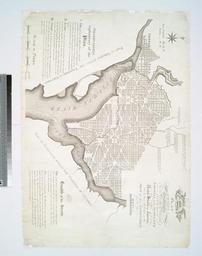
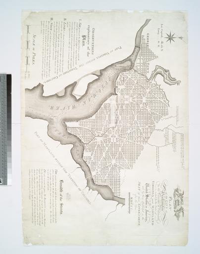
Plan of the city of Washington in the territory of Columbia ceded by the states of Virginia and Maryland to the United States of America and by them established as the seat of their government NYPL b. en In order to execute this plan Mr Ellicott drew true meridional line Also covers Georgetown Includes text notes and coatofarms