
Related Images


This image was acquired from
wikimedia. It was marked as Public Domain or CC0 and is free to use. To verify, go to the source and check the information there.
Looking for more info about this image?
Try a Google Reverse Image Search for it.
Try a Google Reverse Image Search for it.
Keywords from Image Description:
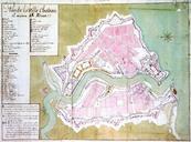
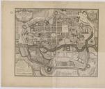
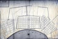
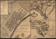
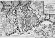
Plan de la ville du chteau et des fortifications de Brest. fr Plan de la ville du chteau et des fortifications de Brest plan of the city port and fortifications of Brest and recouvrance with their environs par Edward Oakley XVIIIe sicle ark Edward Oakley PDold Uploaded with Old maps of Brest