
Related Images
Download:
| Tiny | 147x128 | View | Download |
| Small | 294x256 | View | Download |
| Medium | 588x512 | View | Download |
| Large | 1176x1024 | View | Download |
| Original | 7650x6656 | View | Download |
This image was acquired from
wikimedia. It was marked as Public Domain or CC0 and is free to use. To verify, go to the source and check the information there.
Looking for more info about this image?
Try a Google Reverse Image Search for it.
Try a Google Reverse Image Search for it.
Keywords from Image Description:
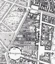
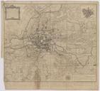
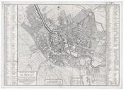
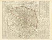
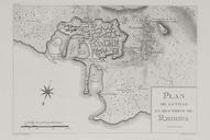
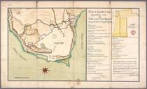
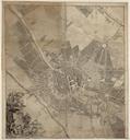
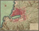
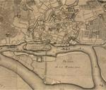
Plan de la ville et des fauxbourgs de Berlin . InteractiveViewer Plan de la ville et des fauxbourgs de Berlin Format cm cm Plan Mastab Orientierung Nord Kupferstich sw Die Karte erschien in Riesbeck Voyage en Allemagne Es handelt sich um eine verkleinerte Kopie des Stadtplans von Schmettau von dem in der zweiten Hlfte des