Related Images

Download:
| Tiny | 163x128 | View | Download |
| Small | 327x256 | View | Download |
| Medium | 655x512 | View | Download |
| Large | 1311x1024 | View | Download |
| Original | 1499x1170 | View | Download |
This image was acquired from
wikimedia. It was marked as Public Domain or CC0 and is free to use. To verify, go to the source and check the information there.
Looking for more info about this image?
Try a Google Reverse Image Search for it.
Try a Google Reverse Image Search for it.
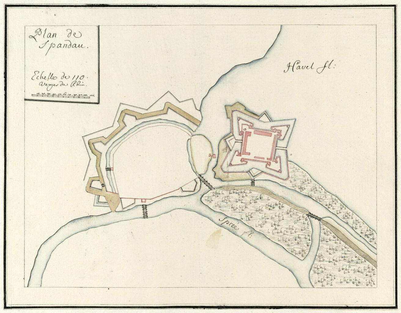
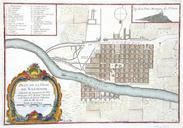
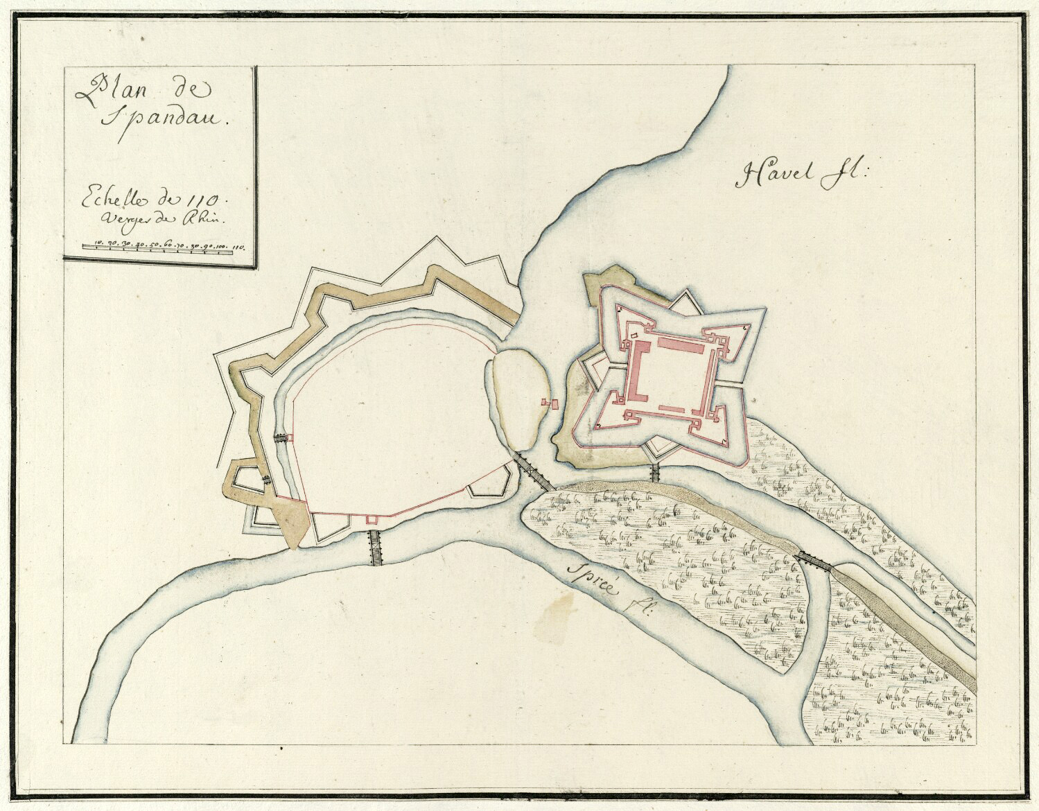
Keywords from Image Description:
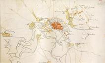
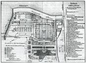
Plan de Spandau . Plan de Spandaubr Format cm Orientierung West Kolorierte Handzeichnung Kartensammlung Moll Mhrische Landesbibliothek Moravsk zemsk knihovna mzk cz online circa author PDold Spandau in the Old maps of BerlinSpandau Historical documents of the Spandau Citadel Festung Spandau Moll's map collection