
Related Images

Download:
| Tiny | 159x128 | View | Download |
| Small | 319x256 | View | Download |
| Medium | 639x512 | View | Download |
| Large | 1279x1024 | View | Download |
| Original | 3020x2417 | View | Download |
This image was acquired from
wikimedia. It was marked as Public Domain or CC0 and is free to use. To verify, go to the source and check the information there.
Looking for more info about this image?
Try a Google Reverse Image Search for it.
Try a Google Reverse Image Search for it.
Keywords from Image Description:
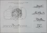
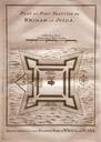
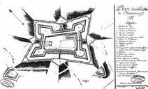
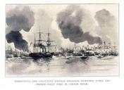
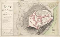
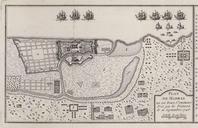
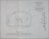
Plan of French Folly Fort. Plan elevation and section of the French Folly Fort in the Canton River before the blowing up of the keep April org page Papers on Subjects Connected with the Duties of the Corps of Royal Engineers Volume London John Weale Captain Durnford Royal Engineers PDold Expedition to Canton Old maps of Guangzhou