
Related Images


Download:
| Tiny | 98x128 | View | Download |
| Small | 196x256 | View | Download |
| Medium | 392x512 | View | Download |
| Large | 784x1024 | View | Download |
| Original | 2309x3014 | View | Download |
This image was acquired from
wikimedia. It was marked as Public Domain or CC0 and is free to use. To verify, go to the source and check the information there.
Looking for more info about this image?
Try a Google Reverse Image Search for it.
Try a Google Reverse Image Search for it.
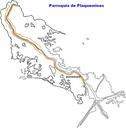
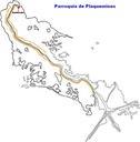
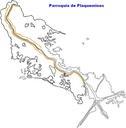
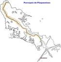
Keywords from Image Description:
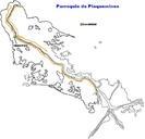
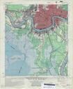
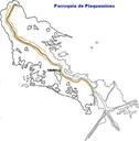
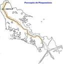
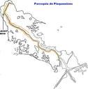
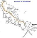
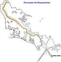
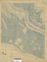
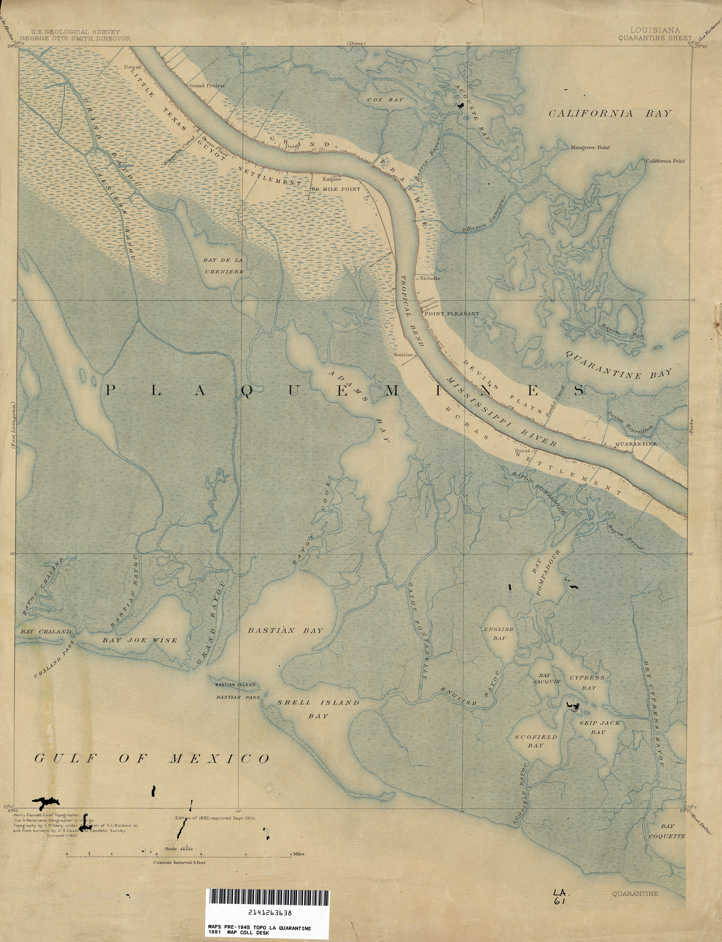
Plaquemines Parish Louisiana Map Empire Quarantine. map of section of lower Plaquemines Parish Louisiana including Homeplace Empire Buras and the old Quarantine station as well as section of the Gulf Coast around Bastian Bay Geological Survey map via lib utexas edu Geological Survey PDUSGov maps in Louisiana old maps of Louisiana