
Related Images


Download:
| Tiny | 104x128 | View | Download |
| Small | 209x256 | View | Download |
| Medium | 419x512 | View | Download |
| Large | 838x1024 | View | Download |
| Original | 6000x7325 | View | Download |
This image was acquired from
wikimedia. It was marked as Public Domain or CC0 and is free to use. To verify, go to the source and check the information there.
Looking for more info about this image?
Try a Google Reverse Image Search for it.
Try a Google Reverse Image Search for it.
Keywords from Image Description:
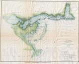
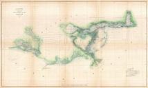
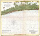
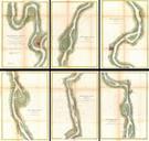
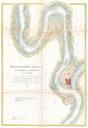
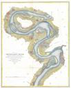
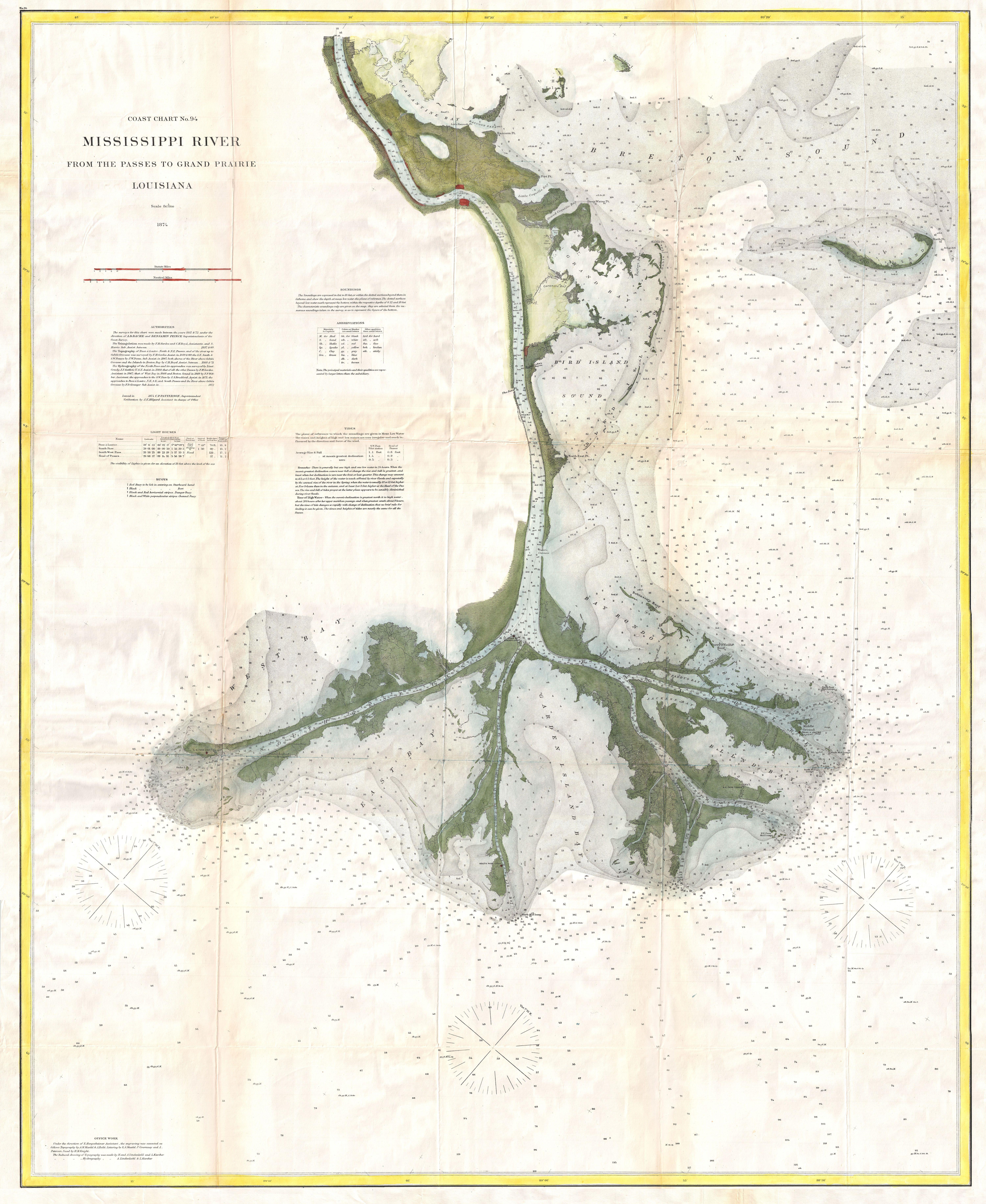
U.S. Coast Survey Map of the Mississippi Delta Geographicus MissDeltauscs. map of end of the Mississippi River Delta Plaquemines Parish Louisiana The culmination of nearly years of intense survey work this is nautical chart is possibly the most attractive and dramatic map of the Mississippi River Delta to emerge from the Coast