
Related Images


Download:
| Tiny | 126x128 | View | Download |
| Small | 252x256 | View | Download |
| Medium | 505x512 | View | Download |
| Original png | 527x534 | View | Download |
| Original as jpg | 527x534 | View | Download |
This image was acquired from
wikimedia. It was marked as Public Domain or CC0 and is free to use. To verify, go to the source and check the information there.
Looking for more info about this image?
Try a Google Reverse Image Search for it.
Try a Google Reverse Image Search for it.
Keywords from Image Description:
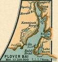
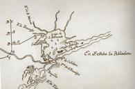
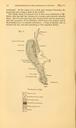
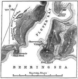
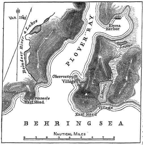
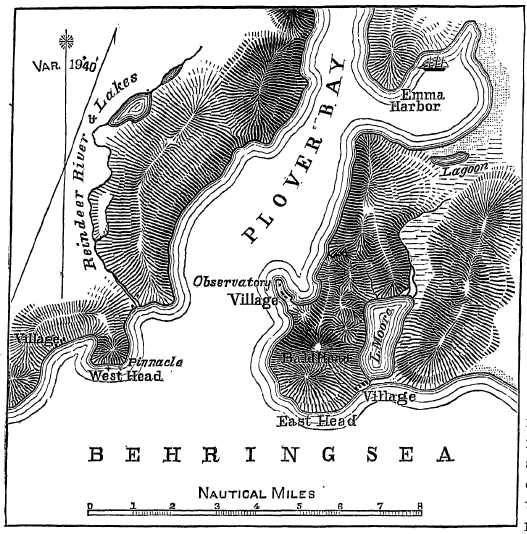
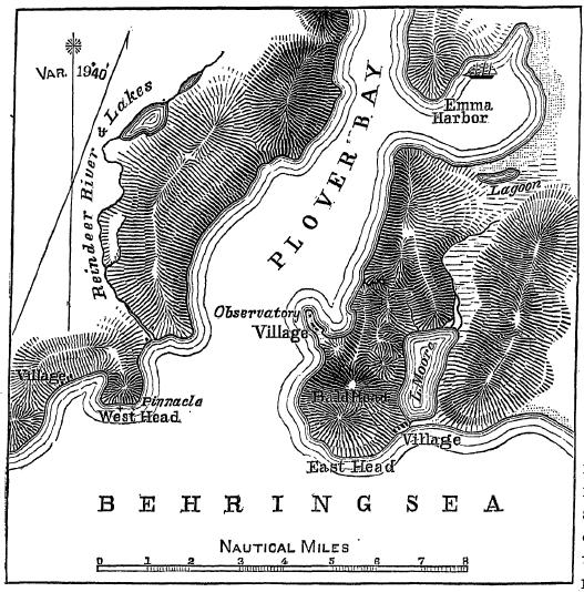
Plover Bay Sketch Map . en sketch map of the lower portion of Provideniya Bay including Emma Harbor showing the location of the two temporary eclipse observatories and the anchorage of the ship Report of Professor Asaph Hall Reports on Observations of the Total Eclipse of the Sun August Government Printing Office Washington BB


