
Related Images


Download:
| Tiny | 217x128 | View | Download |
| Small | 434x256 | View | Download |
| Original png | 555x327 | View | Download |
| Original as jpg | 555x327 | View | Download |
This image was acquired from
wikimedia. It was marked as Public Domain or CC0 and is free to use. To verify, go to the source and check the information there.
Looking for more info about this image?
Try a Google Reverse Image Search for it.
Try a Google Reverse Image Search for it.
Keywords from Image Description:
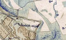
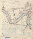
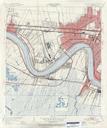
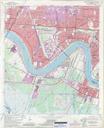
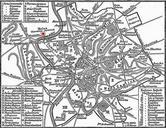
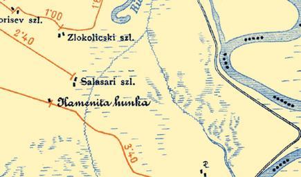
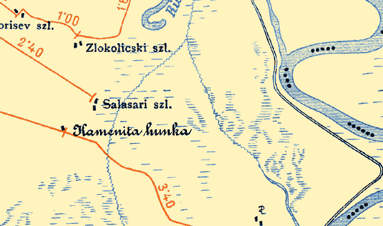
Portion of old map presenting location Kamenita humka near Zabalj Serbia.. en Map portion of the map sheet No vicinity of todays Novi Sad published in by the Royal Hungarian Ministry of Commerce and Trade in scale hu Kveshalom helyzett brzol es topogrfiai trkp Kiadta es mretarnyban Kereskedelemgyi kir Ministerium Krolyi Gyrgy