
Related Images


Download:
| Tiny | 177x128 | View | Download |
| Small | 355x256 | View | Download |
| Medium | 710x512 | View | Download |
| Large | 1420x1024 | View | Download |
| Original tiff | 9560x6893 | View | Download |
| Original as jpg | 9560x6893 | View | Download |
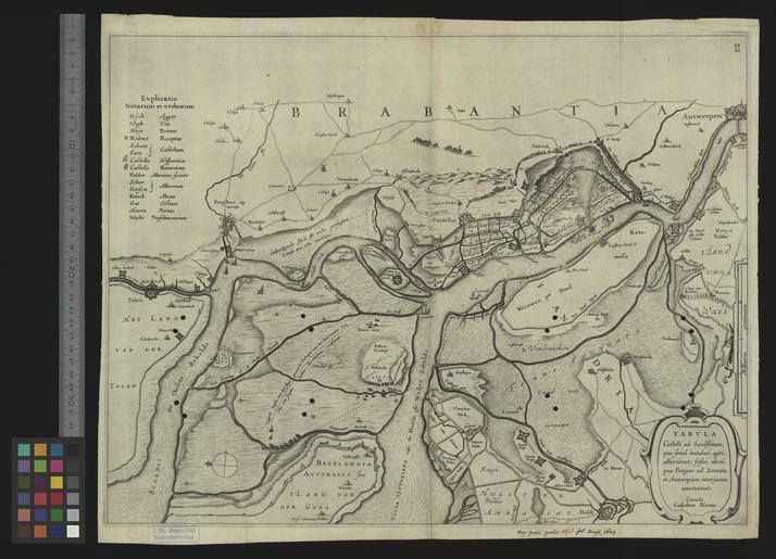
This image was acquired from
wikimedia. It was marked as Public Domain or CC0 and is free to use. To verify, go to the source and check the information there.
Looking for more info about this image?
Try a Google Reverse Image Search for it.
Try a Google Reverse Image Search for it.
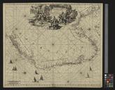
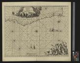
Keywords from Image Description:
UBBasel Map Kartenslg Mappe castelli ad Sandflitam. Tabula castelli ad Sandflitam qua simul inundati agri alluviones fossae alvei quae Bergas ad Zomam et et Antverpiam interjacent annotantur excudit Guiljelmus Blaeuw cm help warp Institution Basel University Library lat map date Kupferdruck Titelkartusche unten rechts