
Related Images


Download:
| Tiny | 178x128 | View | Download |
| Small | 357x256 | View | Download |
| Medium | 715x512 | View | Download |
| Large | 1431x1024 | View | Download |
| Original | 6000x4293 | View | Download |
This image was acquired from
wikimedia. It was marked as Public Domain or CC0 and is free to use. To verify, go to the source and check the information there.
Looking for more info about this image?
Try a Google Reverse Image Search for it.
Try a Google Reverse Image Search for it.
Keywords from Image Description:
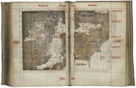
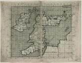
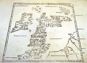
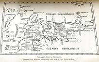
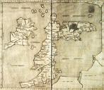
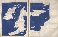
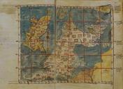
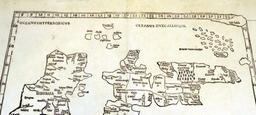
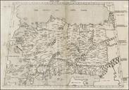
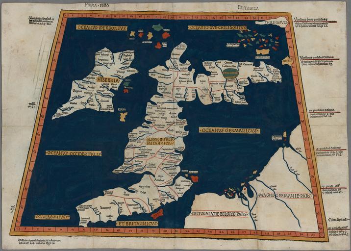
Prima Europe tabula. One of the earliest surviving copies of Ptolemy's nd century map of the British Isles Originally published in Ptolemy's Geographia This is the second issue of the map also printed at Ulm which was the first woodcut map of the British Isles and the first to be printed outside Italy mm Institution National