Related Images


Download:
| Tiny | 50x128 | View | Download |
| Small | 100x256 | View | Download |
| Medium | 200x512 | View | Download |
| Large | 400x1024 | View | Download |
| Original | 590x1510 | View | Download |
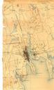
This image was acquired from
wikimedia. It was marked as Public Domain or CC0 and is free to use. To verify, go to the source and check the information there.
Looking for more info about this image?
Try a Google Reverse Image Search for it.
Try a Google Reverse Image Search for it.
Keywords from Image Description:
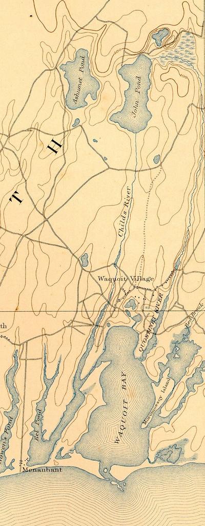
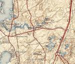
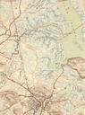
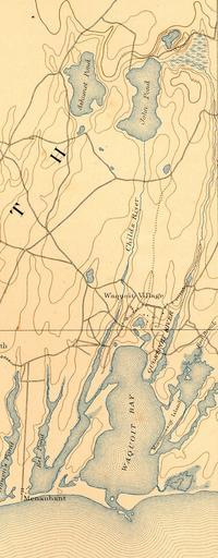
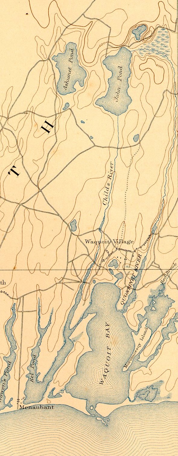
Quashnet River Massachusetts map. Map of Quashnet River and Waquoit Bay on Cape Cod near Falmouth Massachusetts USA USGS Minute Series Falmouth MA Quadrangle Southeast corner This version is cropped from the original map to remove extraneous terrain United States Geological Survey US Department of the Interior Public domain original