
Related Images


Download:
| Tiny | 63x128 | View | Download |
| Small | 126x256 | View | Download |
| Medium | 252x512 | View | Download |
| Large | 505x1024 | View | Download |
| Original | 3918x7935 | View | Download |
This image was acquired from
wikimedia. It was marked as Public Domain or CC0 and is free to use. To verify, go to the source and check the information there.
Looking for more info about this image?
Try a Google Reverse Image Search for it.
Try a Google Reverse Image Search for it.
Keywords from Image Description:
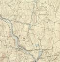
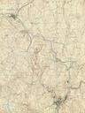
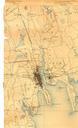
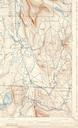
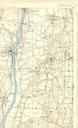
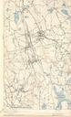
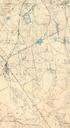
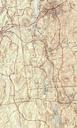
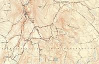
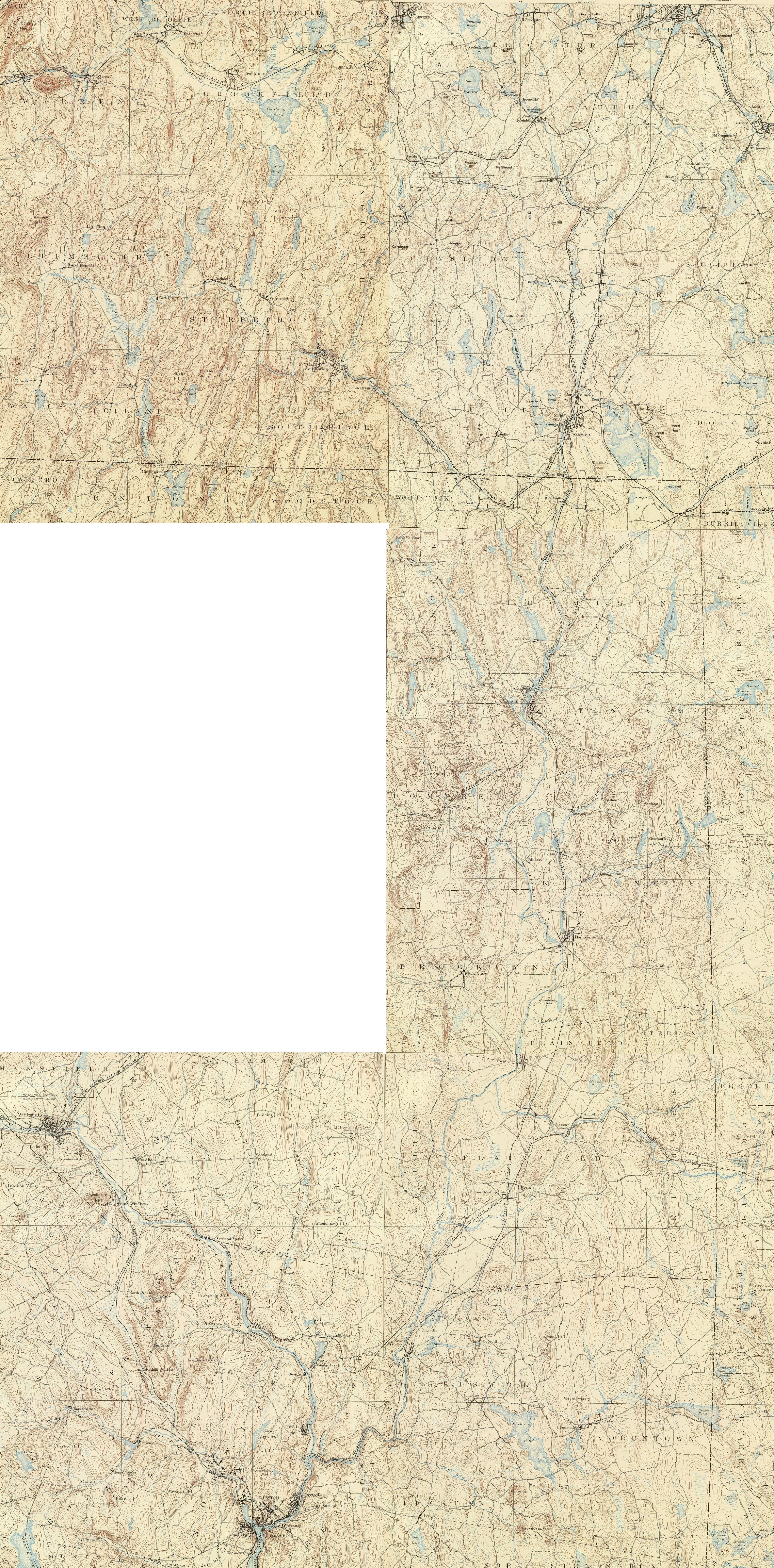
Quinebaug River Massachusetts Connecticut map. Map of the Quinebaug River and environs Massachusetts and Connecticut USA This image is stitched together from maps in the following series United States Geological Survey sheets for Massachusetts Brookfield Webster and Connecticut Putnam Moosup Norwich Published in the Topographic