Related Images

Download:
| Tiny | 169x128 | View | Download |
| Small | 339x256 | View | Download |
| Medium | 679x512 | View | Download |
| Large | 1358x1024 | View | Download |
| Original png | 4724x3560 | View | Download |
| Original as jpg | 4724x3560 | View | Download |
This image was acquired from
wikimedia. It was marked as Public Domain or CC0 and is free to use. To verify, go to the source and check the information there.
Looking for more info about this image?
Try a Google Reverse Image Search for it.
Try a Google Reverse Image Search for it.
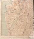
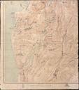
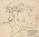
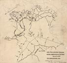
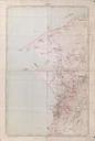
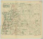
Keywords from Image Description:
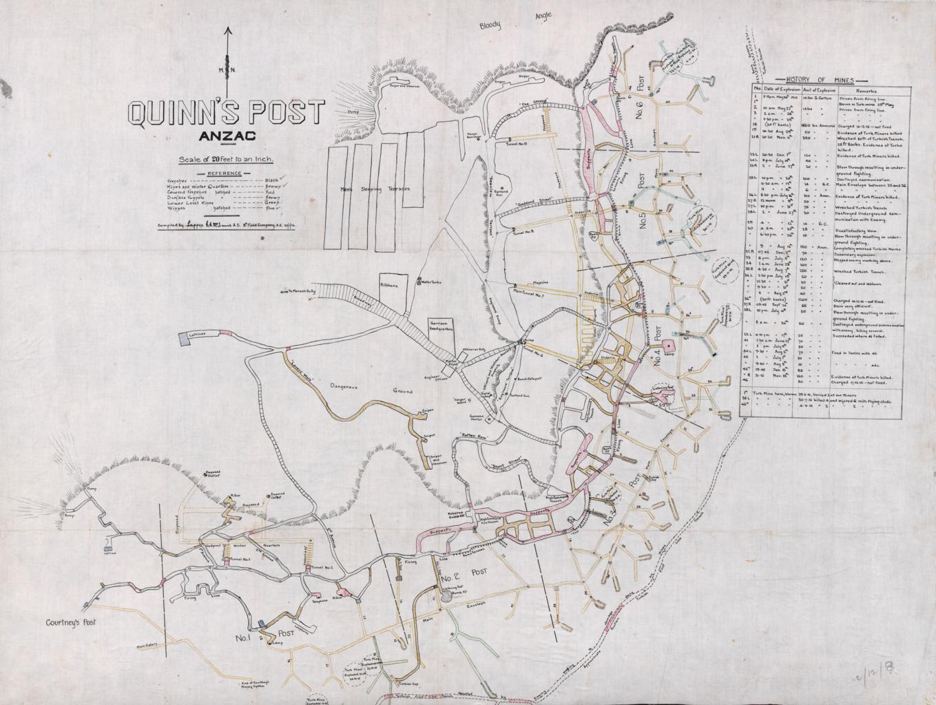
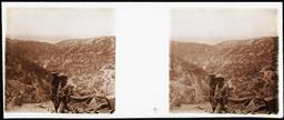
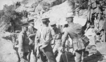
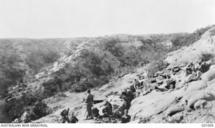
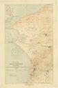
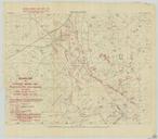
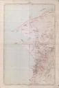
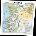
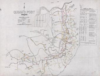
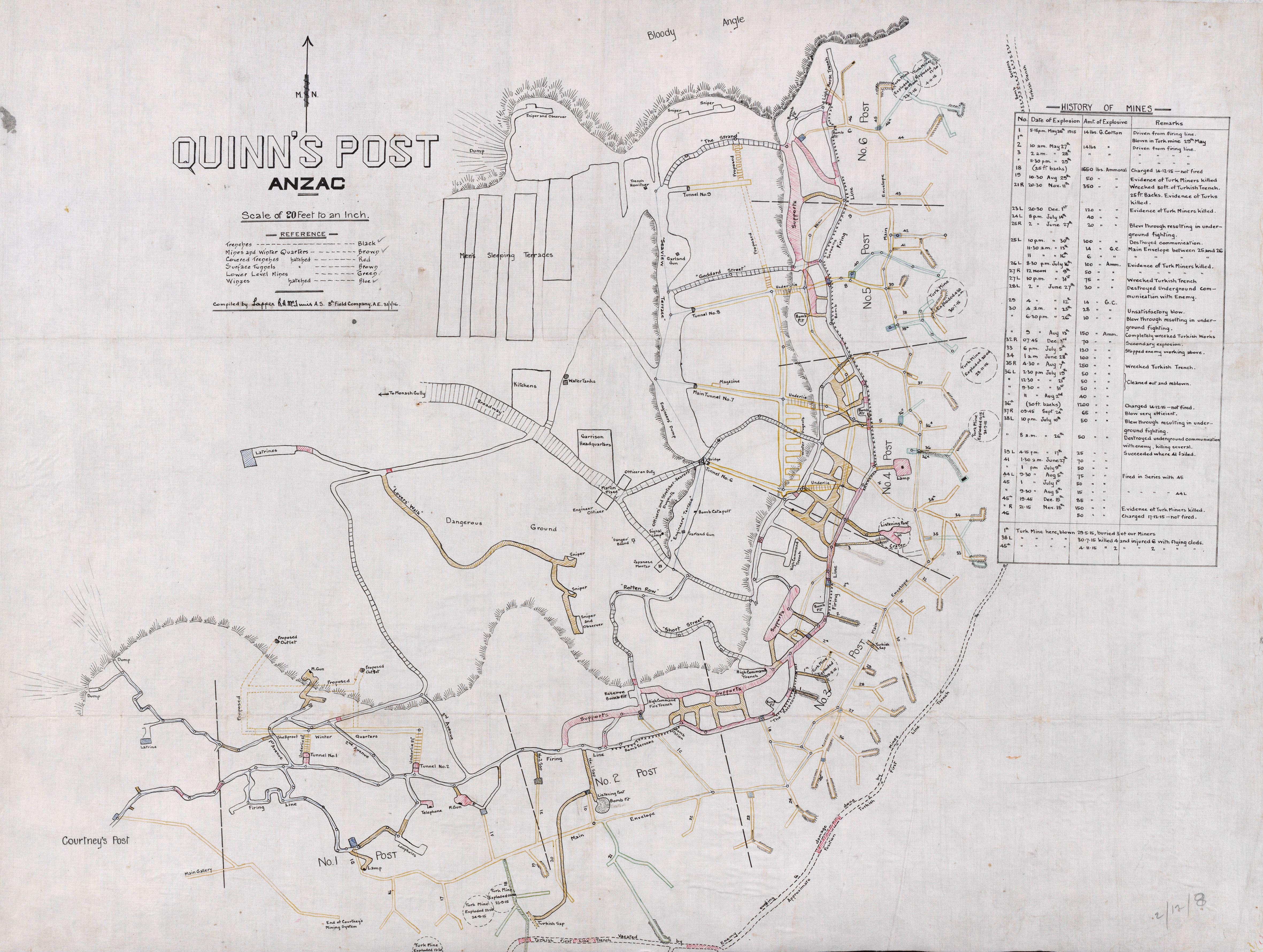
Quinns Post ANZAC trench tunnel map. Quinn Post ANZAC trench tunnel map Quinn Post was the most advanced ANZAC post located on the northern edge of the main ANZAC line Along with Pope Hill it was one of the keys to the Monash and Shrapnel valleys If it had fallen the Turks could have broken into the heart of the ANZAC position