Related Images


Download:
| Tiny | 114x128 | View | Download |
| Small | 228x256 | View | Download |
| Medium | 456x512 | View | Download |
| Large | 913x1024 | View | Download |
| Original png | 1139x1277 | View | Download |
| Original as jpg | 1139x1277 | View | Download |
This image was acquired from
wikimedia. It was marked as Public Domain or CC0 and is free to use. To verify, go to the source and check the information there.
Looking for more info about this image?
Try a Google Reverse Image Search for it.
Try a Google Reverse Image Search for it.
Keywords from Image Description:
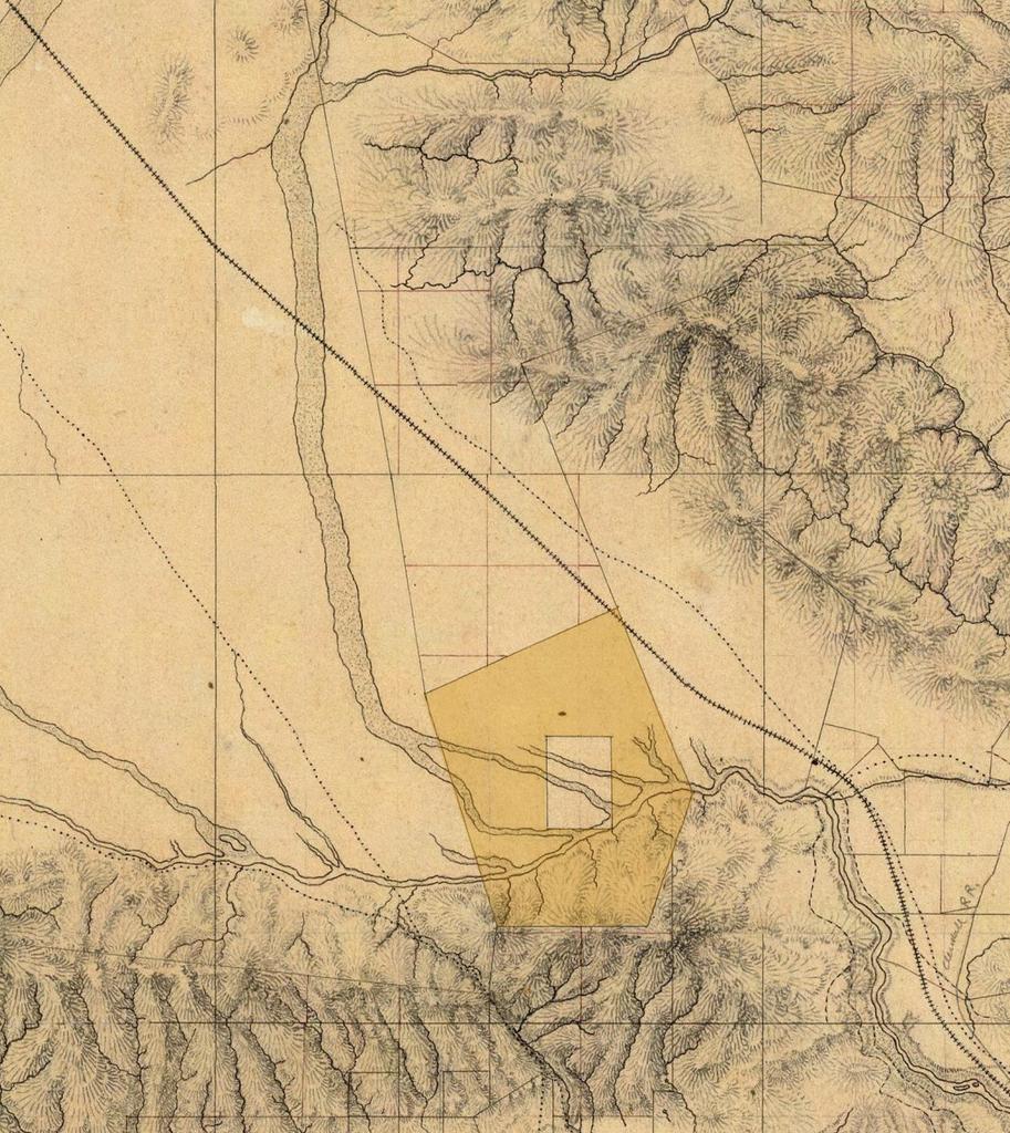
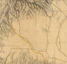
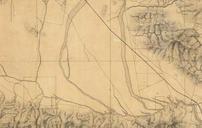
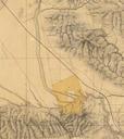
Rancho Providencia Hall Map . Detail of the southeastern San Fernando Valley from manuscript map of Los Angeles and San Bernardino topography by William Hammond Hall Office of the State Engineer California The map shows the Rancho Cahuenga inholding within Rancho Providencia tinted area in the present day city of Burbank and the