
Related Images


Download:
| Tiny | 213x128 | View | Download |
| Small | 426x256 | View | Download |
| Medium | 852x512 | View | Download |
| Large | 1705x1024 | View | Download |
| Original | 4036x2423 | View | Download |
This image was acquired from
wikimedia. It was marked as Public Domain or CC0 and is free to use. To verify, go to the source and check the information there.
Looking for more info about this image?
Try a Google Reverse Image Search for it.
Try a Google Reverse Image Search for it.
Keywords from Image Description:
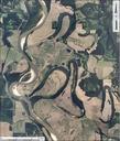
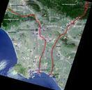
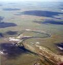
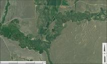
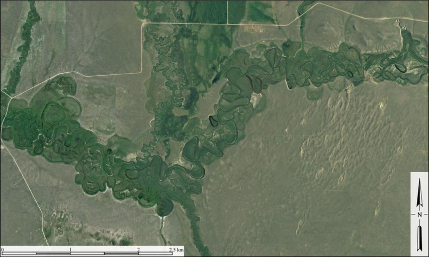
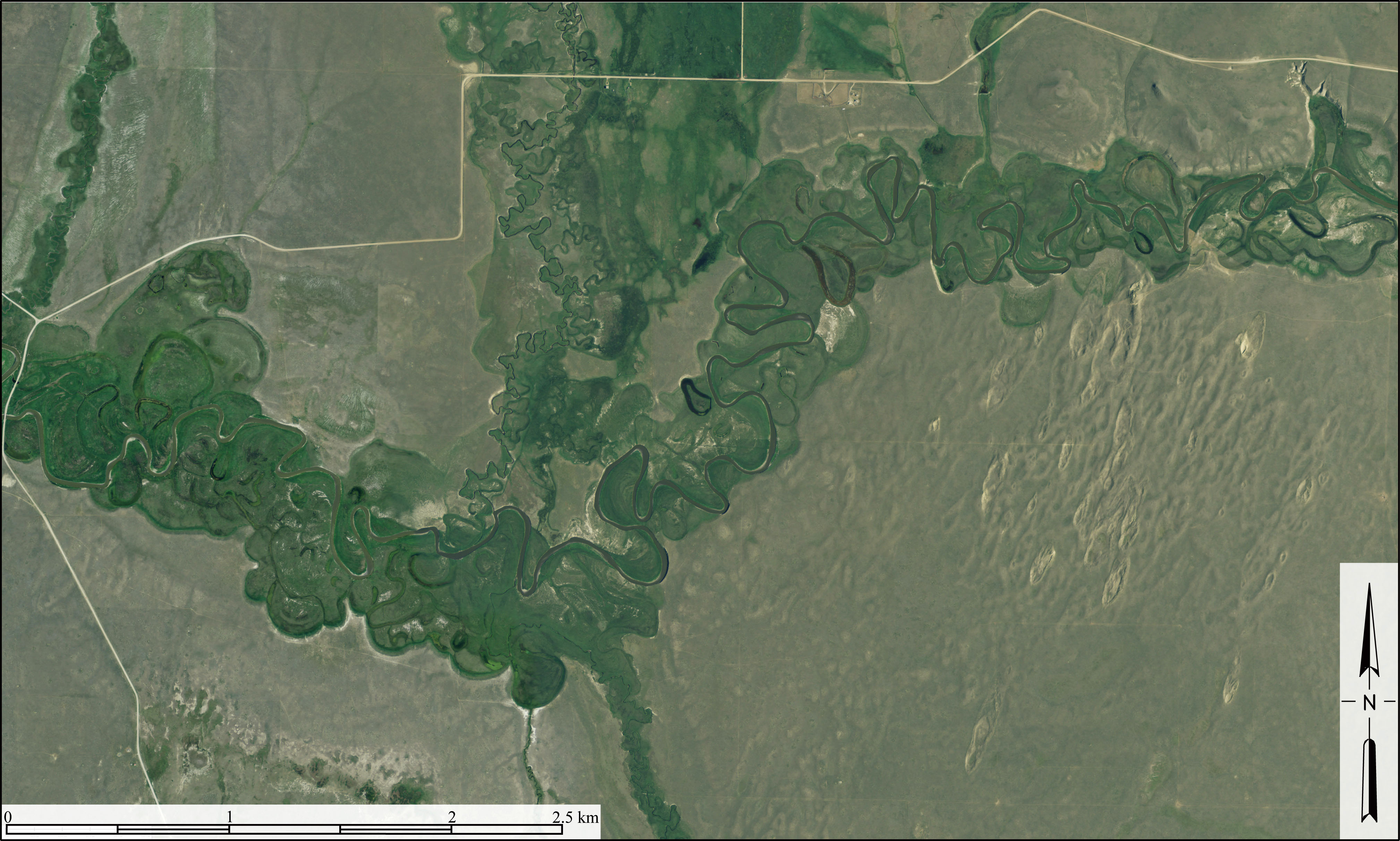
RedRockRiverMontana. en Aerial image of meandering course of Red Rock River in Beaverhead County Montana It shows point bars abandoned meander loops ox bow lakes and terraces associated with the active course of the Red Rock River Excellent example of sand dunes can also be seen in righthand part of image Created from USDA Aerial