
Related Images


Download:
| Tiny | 109x128 | View | Download |
| Small | 218x256 | View | Download |
| Medium | 436x512 | View | Download |
| Large | 873x1024 | View | Download |
| Original | 3055x3580 | View | Download |
This image was acquired from
wikimedia. It was marked as Public Domain or CC0 and is free to use. To verify, go to the source and check the information there.
Looking for more info about this image?
Try a Google Reverse Image Search for it.
Try a Google Reverse Image Search for it.
Keywords from Image Description:
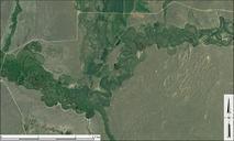
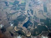
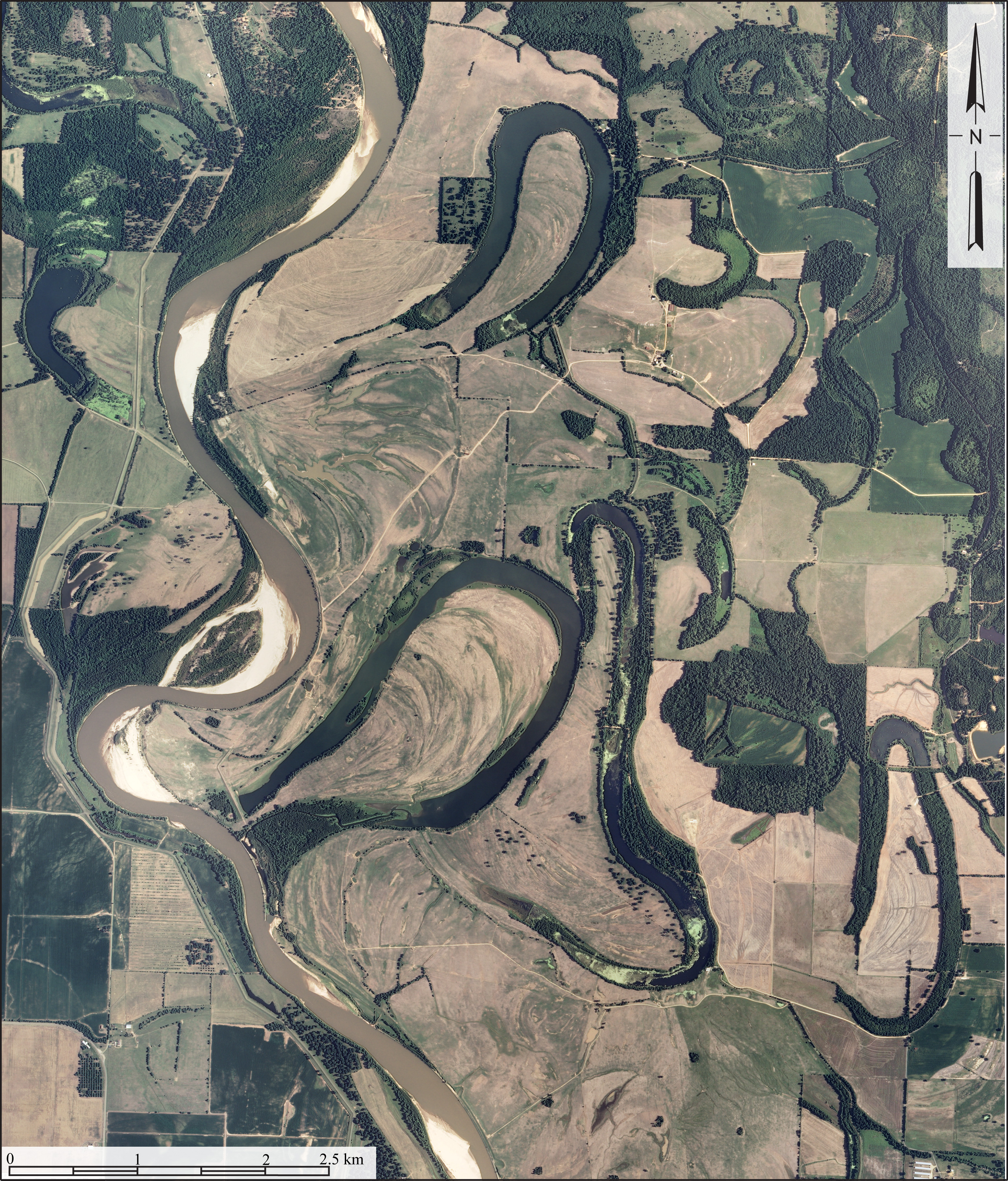
RedRiverMeandersArkansas. Red River in Lafayette and Miller counties Arkansas It shows point bars abandoned meander loops ox bow lakes and ridge and swale topography associated with the active course of the Red River Credits Created from USDA Aerial Photography Field Office NAIP digital aerial orthophoto mosaic for Lafayette County