
Related Images


Download:
| Tiny | 210x128 | View | Download |
| Small | 420x256 | View | Download |
| Medium | 841x512 | View | Download |
| Original png | 1369x833 | View | Download |
| Original as jpg | 1369x833 | View | Download |
This image was acquired from
wikimedia. It was marked as Public Domain or CC0 and is free to use. To verify, go to the source and check the information there.
Looking for more info about this image?
Try a Google Reverse Image Search for it.
Try a Google Reverse Image Search for it.
Keywords from Image Description:
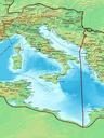
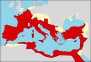
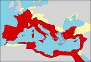
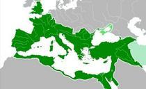
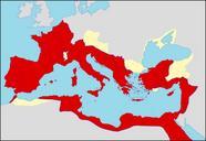
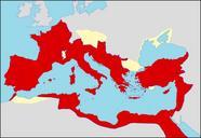
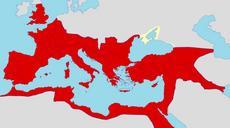
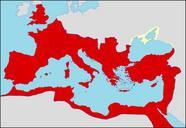
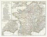
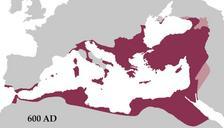
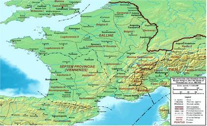
Roman Gaul AD . historical map Map of the Roman Empire ca AD showing the administrative division into dioceses and provinces as well as the major cities The demarcation between Eastern and Western Empires is noted in red TheRomanEmpirecaAD UTC TheRomanEmpirecaAD Cplakidas derivative work Jbribeiro Roman Gaul Jbribeiro TheRomanEmpirecaAD