Related Images

Download:
| Tiny | 161x128 | View | Download |
| Small | 323x256 | View | Download |
| Medium | 646x512 | View | Download |
| Large | 1293x1024 | View | Download |
| Original | 5000x3957 | View | Download |
This image was acquired from
wikimedia. It was marked as Public Domain or CC0 and is free to use. To verify, go to the source and check the information there.
Looking for more info about this image?
Try a Google Reverse Image Search for it.
Try a Google Reverse Image Search for it.
Keywords from Image Description:
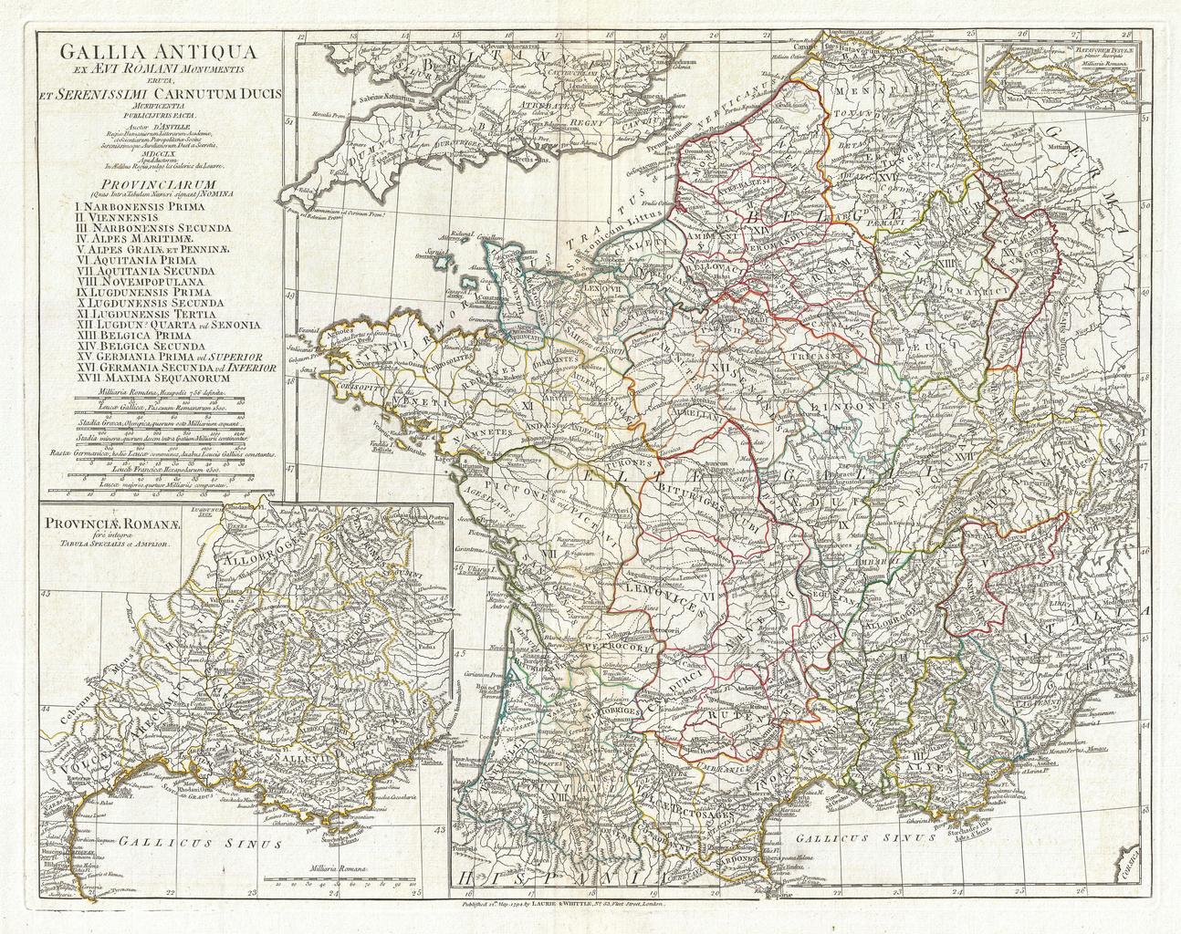
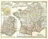
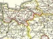
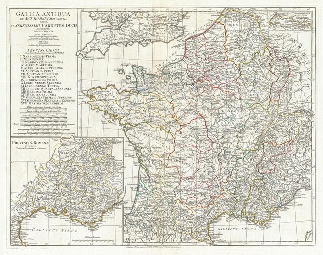
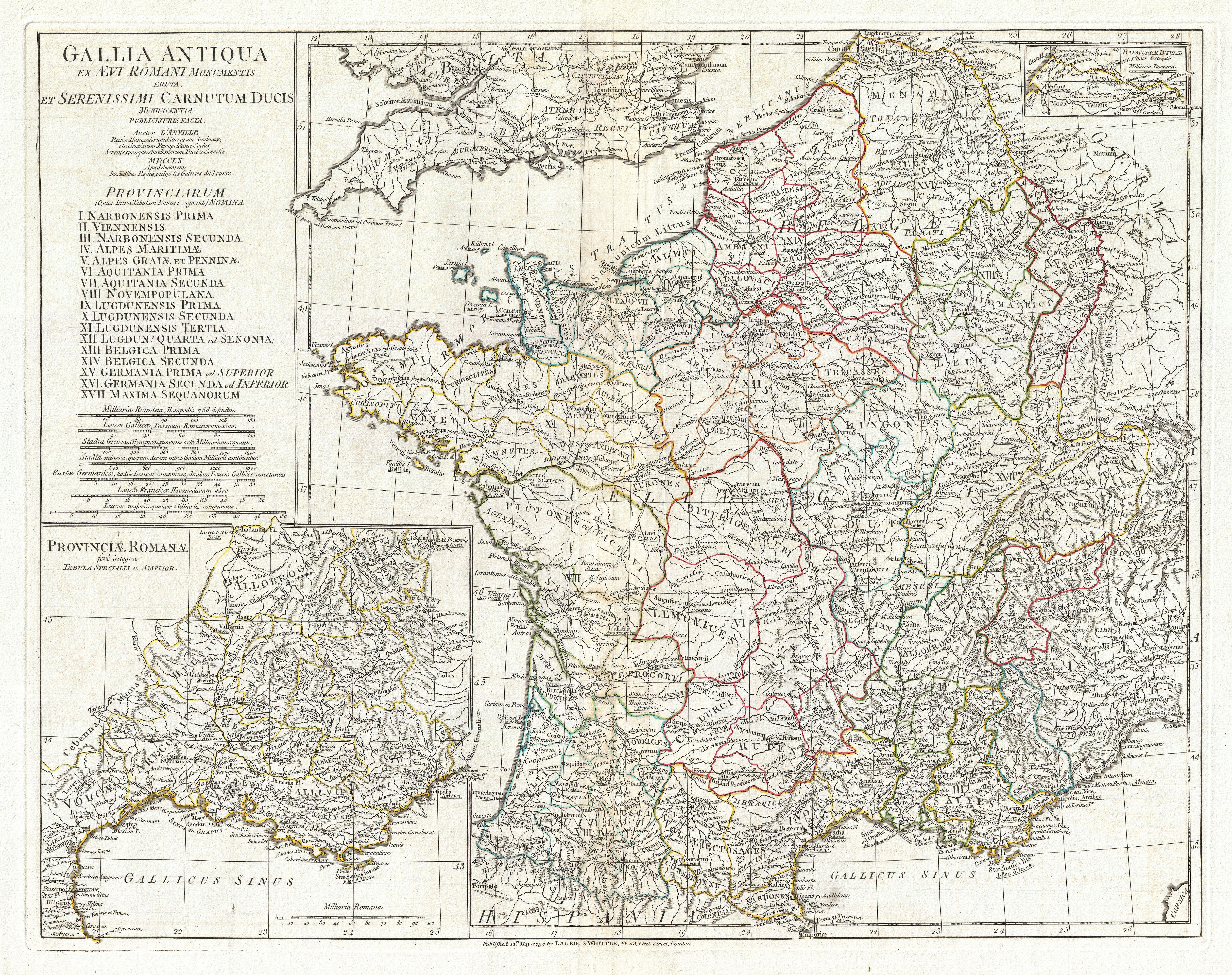
Anville Map of Gaul Gallia or France in ancient Roman Times Geographicus Franceanville. large and dramatic D'Anville map of Gallia or France in ancient Roman times Covers from the southern part of England Britannia to the Pyrenees and the Mediterranean Details mountains rivers cities roadways and lakes with political divisions