Related Images


Download:
| Tiny | 157x128 | View | Download |
| Small | 315x256 | View | Download |
| Medium | 631x512 | View | Download |
| Large | 1262x1024 | View | Download |
| Original | 2817x2284 | View | Download |
This image was acquired from
wikimedia. It was marked as Public Domain or CC0 and is free to use. To verify, go to the source and check the information there.
Looking for more info about this image?
Try a Google Reverse Image Search for it.
Try a Google Reverse Image Search for it.
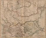
Keywords from Image Description:
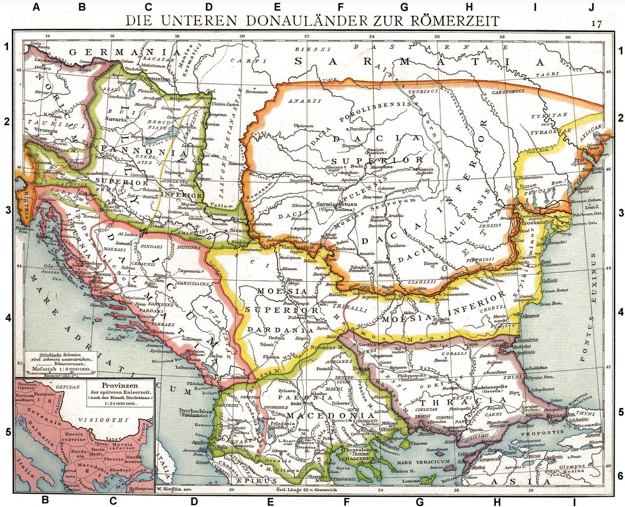
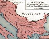
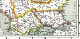
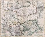
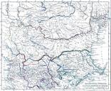
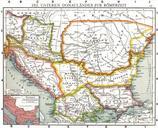
Roman provinces of Illyricum Macedonia Dacia Moesia Pannonia and Thracia. Die unteren Donaulnder zur Rmerzeit Alte historische Karte aus Droysens Historischem Handatlas The link Roman provinces of the Lower Danube Old historical map from Droysens Historical Atlas Allgemeiner historischer Handatlas in Karten mit erluterndem Text