
Related Images


Download:
| Tiny | 166x128 | View | Download |
| Small | 332x256 | View | Download |
| Medium | 664x512 | View | Download |
| Large | 1328x1024 | View | Download |
| Original | 3717x2866 | View | Download |
This image was acquired from
wikimedia. It was marked as Public Domain or CC0 and is free to use. To verify, go to the source and check the information there.
Looking for more info about this image?
Try a Google Reverse Image Search for it.
Try a Google Reverse Image Search for it.
Keywords from Image Description:
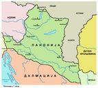
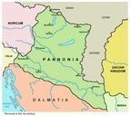
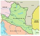
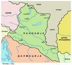
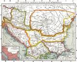
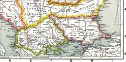
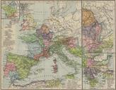
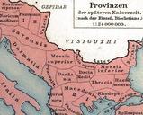
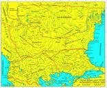
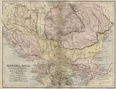
Roman provinces in school atlas. Pannonia Illyricum Moesia Macedonia Et Thracia Map This map includes even nd century AD Adrianopolis cities and perhaps even later ones School Atlas of classical geography comprising in twentythree plates by Alexander Keith Johnston PublisherWilliam Blackwood and Sons uploaded August made Alexander