
Related Images


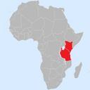


Download:
| Tiny | 163x128 | View | Download |
| Small | 326x256 | View | Download |
| Medium | 652x512 | View | Download |
| Original | 1137x892 | View | Download |
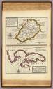
This image was acquired from
wikimedia. It was marked as Public Domain or CC0 and is free to use. To verify, go to the source and check the information there.
Looking for more info about this image?
Try a Google Reverse Image Search for it.
Try a Google Reverse Image Search for it.
Keywords from Image Description:
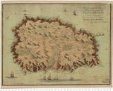
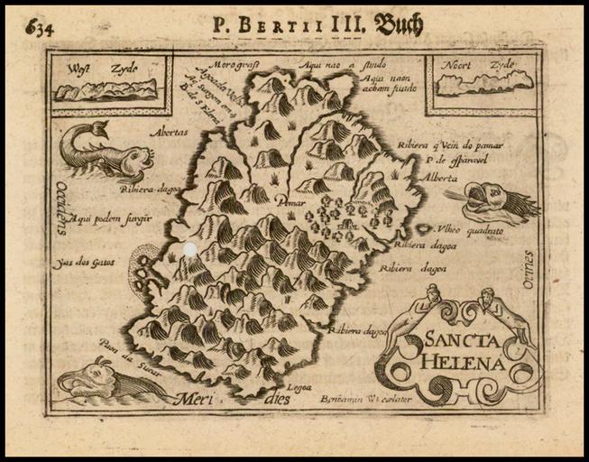
Saint Helena map by Barent Langenes. en Map of Saint Helena Island South Atlantic Ocean raremaps html raremaps Barent Langenes other versions PDold Old maps of Saint Helena maps