Related Images


Download:
| Tiny | 160x128 | View | Download |
| Small | 320x256 | View | Download |
| Medium | 640x512 | View | Download |
| Original | 1000x800 | View | Download |
This image was acquired from
wikimedia. It was marked as Public Domain or CC0 and is free to use. To verify, go to the source and check the information there.
Looking for more info about this image?
Try a Google Reverse Image Search for it.
Try a Google Reverse Image Search for it.
Keywords from Image Description:
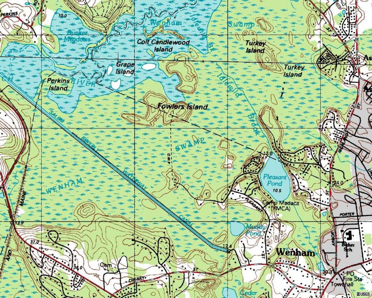
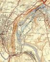
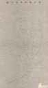
Salem Beverly Waterway Canal USGS map July . Topographic map of nearly all the Salem Beverly Waterway Canal located in Topsfield and Wenham Massachusetts USA United States Geological Survey map published July United States Geological Survey USGS Original work of the US Federal Government public domain PDUSGov Maps of Topsfield