
Related Images


Download:
| Tiny | 284x128 | View | Download |
| Small | 569x256 | View | Download |
| Medium | 1138x512 | View | Download |
| Original png | 1272x572 | View | Download |
| Original as jpg | 1272x572 | View | Download |
This image was acquired from
wikimedia. It was marked as Public Domain or CC0 and is free to use. To verify, go to the source and check the information there.
Looking for more info about this image?
Try a Google Reverse Image Search for it.
Try a Google Reverse Image Search for it.
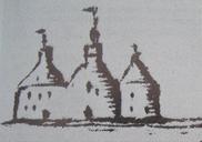
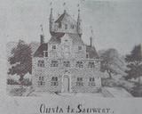
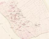
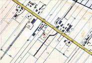
Keywords from Image Description:
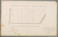
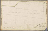
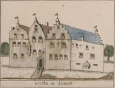
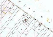
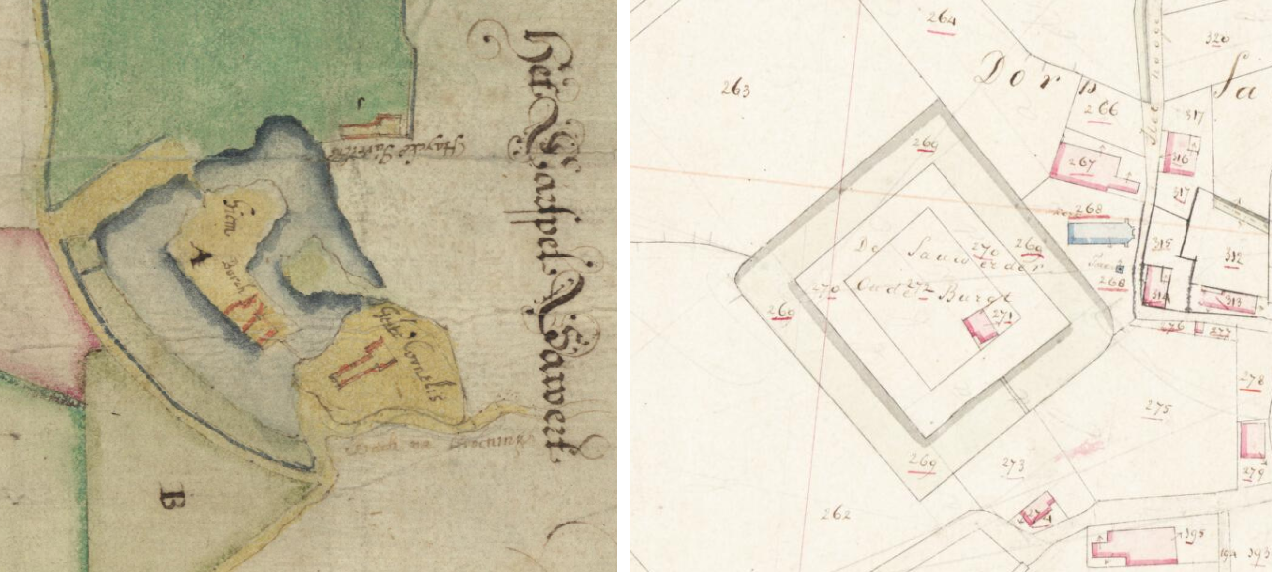
Sauwerd Onstaborg Haubois en kadastrale minuut . nl De locatie van de vroegere Onstaborg in Sauwerd op de kaart van Haubois uit en de kadastrale minuut uit en nl Beeldbank Groningen kaart van Haubois Borch Hiem Graft Cingel ende hof Mitsgaders desselfs toegevoegde landerijen tot Sawert cultureelerfgoed nl mode detail view