
Related Images


Download:
| Tiny | 172x128 | View | Download |
| Small | 344x256 | View | Download |
| Medium | 689x512 | View | Download |
| Large | 1378x1024 | View | Download |
| Original | 7008x5204 | View | Download |
This image was acquired from
wikimedia. It was marked as Public Domain or CC0 and is free to use. To verify, go to the source and check the information there.
Looking for more info about this image?
Try a Google Reverse Image Search for it.
Try a Google Reverse Image Search for it.
Keywords from Image Description:
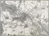
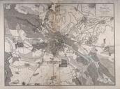
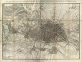
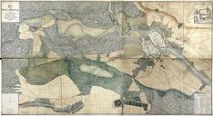
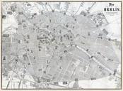
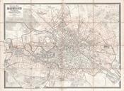
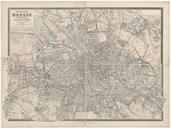
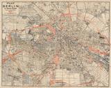
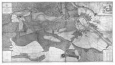
Schneider Plan von Berlin . InteractiveViewer Der Titel steht zeilig oben rechts in einem Rahmen zusammen mit einer Mastabsleiste ber Schritt Im Plan rechts oben neben Heinersdorf ein Orientierungskreuz Der Plan reicht westlich von Grunewald bis stlich nach Friedrichsfelde und sdlich von Steglitz bis nrdlich nach Malchow Schneider