Related Images


Download:
| Tiny | 161x128 | View | Download |
| Small | 322x256 | View | Download |
| Medium | 644x512 | View | Download |
| Large | 1289x1024 | View | Download |
| Original | 1625x1290 | View | Download |
This image was acquired from
wikimedia. It was marked as Public Domain or CC0 and is free to use. To verify, go to the source and check the information there.
Looking for more info about this image?
Try a Google Reverse Image Search for it.
Try a Google Reverse Image Search for it.
Keywords from Image Description:
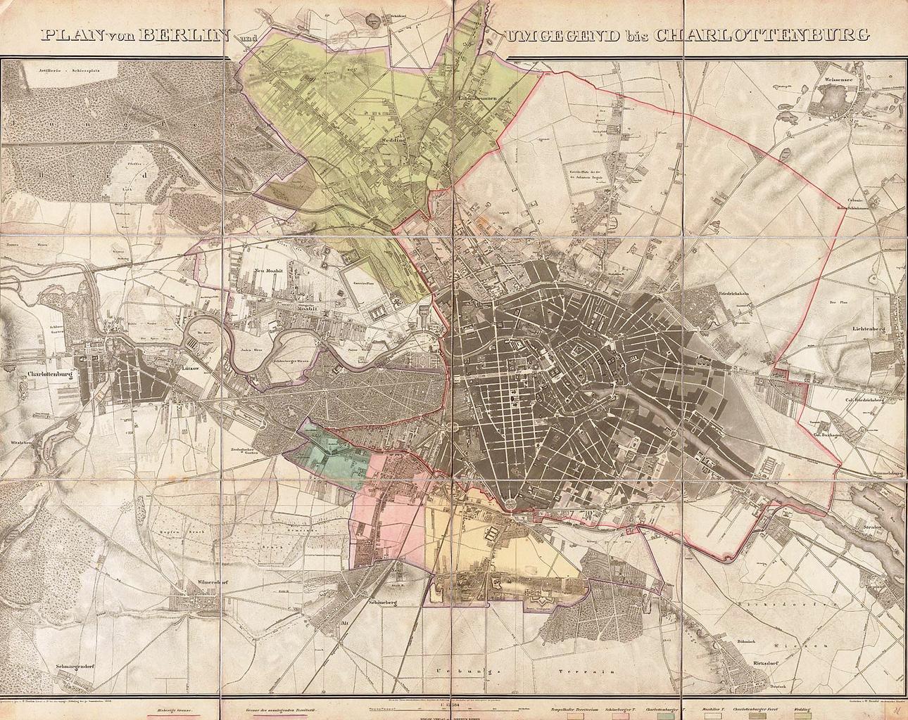
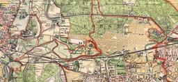
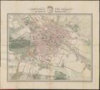
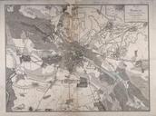
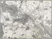
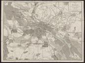
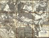
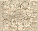
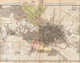
Boehm Plan von Berlin und Umgegend bis Charlottenburg . Der Titel steht einzeilig ber dem Plan und wird durch eine starke Randberzeichnung bis Schfersee unterbrochen Die Karte zeigt in rot die Bisherige Grenze und in lila die Grenze des zulegenden Territorii der Stadterweiterung von Die sechs neu hinzugekommenen Gebiete sind koloriert