
Related Images


Download:
| Tiny | 151x128 | View | Download |
| Small | 302x256 | View | Download |
| Medium | 605x512 | View | Download |
| Original | 1208x1022 | View | Download |
This image was acquired from
wikimedia. It was marked as Public Domain or CC0 and is free to use. To verify, go to the source and check the information there.
Looking for more info about this image?
Try a Google Reverse Image Search for it.
Try a Google Reverse Image Search for it.
Keywords from Image Description:
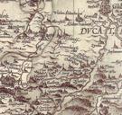
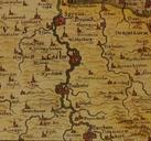
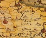
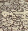
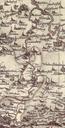
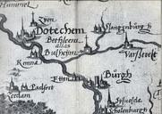
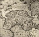
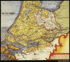
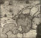
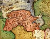
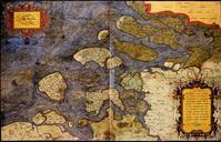
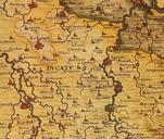
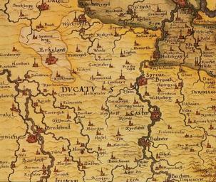
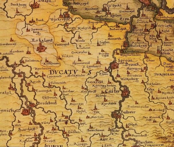
Sgrothen Atlas . Detail from an Atlas of the german cartographer Christian Sgrothen This part of the map shows Towns and villages of the german Lower Rheinland between the Rivers Rhine and Rur Erkelenz Linnich Zons Dormagen Kaster Bergheim Paul Blaesen Holzweiler Ein Beitrag zur Geschichte bis Anfang des Jahrhunderts Erkelenz