
Related Images


Download:
| Tiny | 197x128 | View | Download |
| Small | 394x256 | View | Download |
| Medium | 788x512 | View | Download |
| Large | 1577x1024 | View | Download |
| Original | 2744x1781 | View | Download |
This image was acquired from
wikimedia. It was marked as Public Domain or CC0 and is free to use. To verify, go to the source and check the information there.
Looking for more info about this image?
Try a Google Reverse Image Search for it.
Try a Google Reverse Image Search for it.
Keywords from Image Description:
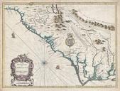
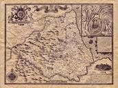
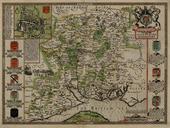
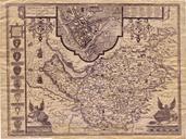
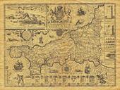
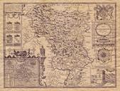
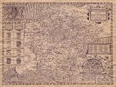
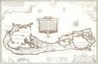
Somers Isles Map John Speed . map of the Somers Isles alias Bermuda by John Speed based on the map of surveyor Richard Norwood Clearly shown are the tribe roads cut parallel through the forest between the North and South Shores except in St Georges the easternmost subdivision comprising the islands of St George's and St David's