
Related Images


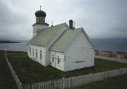
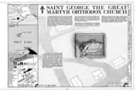
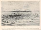
Download:
| Tiny | 175x128 | View | Download |
| Small | 351x256 | View | Download |
| Medium | 703x512 | View | Download |
| Large | 1407x1024 | View | Download |
| Original | 3229x2350 | View | Download |
This image was acquired from
wikimedia. It was marked as Public Domain or CC0 and is free to use. To verify, go to the source and check the information there.
Looking for more info about this image?
Try a Google Reverse Image Search for it.
Try a Google Reverse Image Search for it.
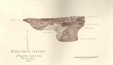
Keywords from Image Description:
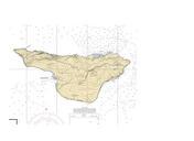
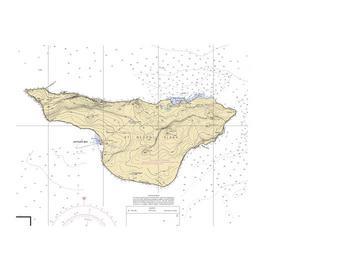
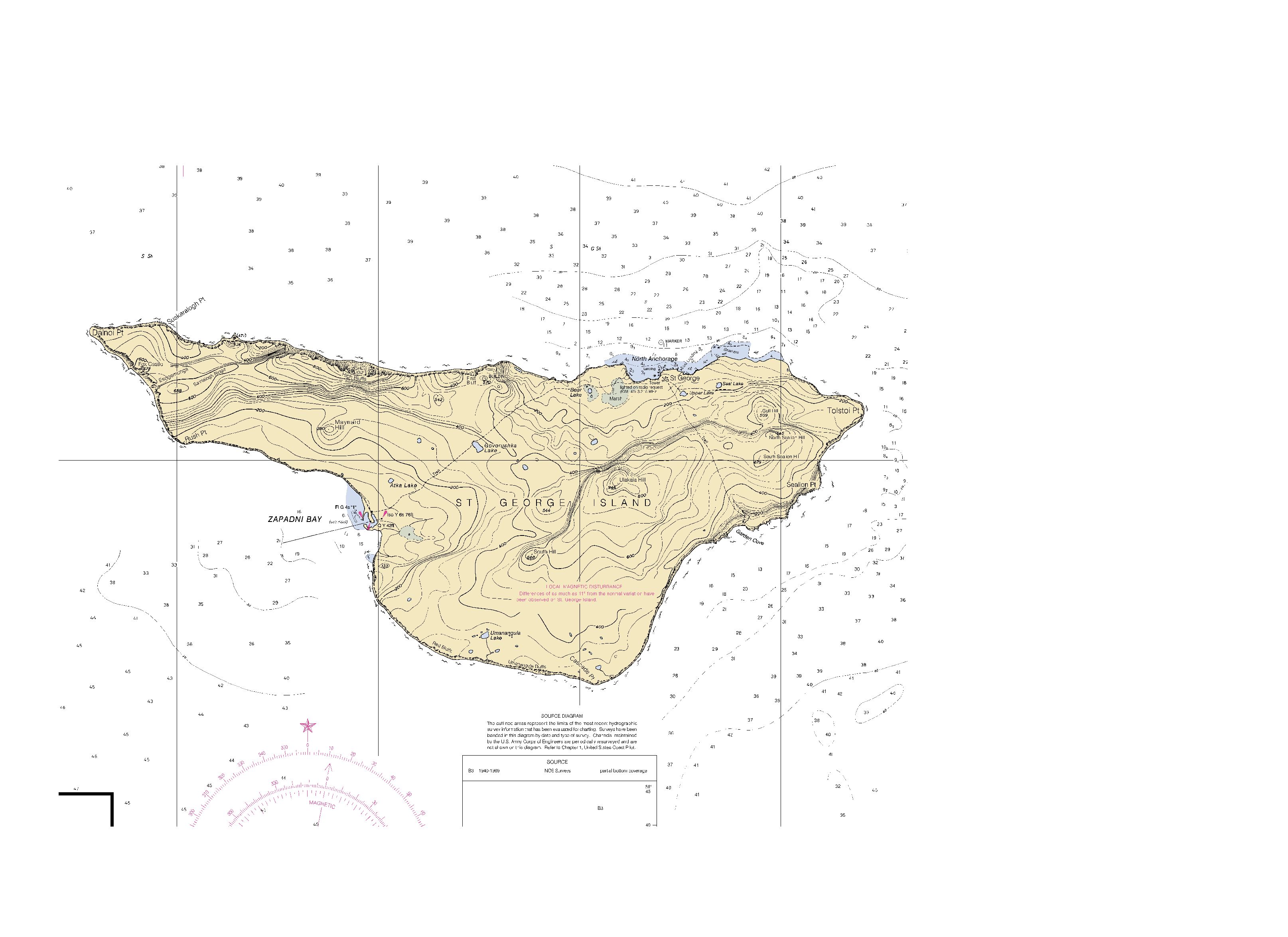
St george island chart. en nautical chart of Saint George Island Bering Sea Alaska lib noaa gov html Nr NOAA Office of Coast Survey Saint George Island Alaska National Oceanic and Atmospheric Administration PDUSGov