
Related Images


Download:
| Tiny | 134x128 | View | Download |
| Small | 269x256 | View | Download |
| Medium | 538x512 | View | Download |
| Large | 1076x1024 | View | Download |
| Original | 3000x2853 | View | Download |
This image was acquired from
wikimedia. It was marked as Public Domain or CC0 and is free to use. To verify, go to the source and check the information there.
Looking for more info about this image?
Try a Google Reverse Image Search for it.
Try a Google Reverse Image Search for it.
Keywords from Image Description:
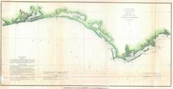
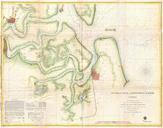
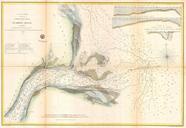
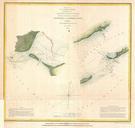
U.S. Coast Survey Chart or Map of St. Georges Sound Florida Geographicus StGeorgesSounduscs. very nice example of the Coast Survey chart or map of the entrances to St George Sound Florida Essentially two maps in one The left map depicts the western Entrance to the sound between St Vincent Island and Georges Island The right hand