
Related Images


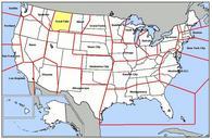


Download:
| Tiny | 227x128 | View | Download |
| Small | 455x256 | View | Download |
| Medium | 910x512 | View | Download |
| Large | 1820x1024 | View | Download |
| Original | 5312x2988 | View | Download |
This image was acquired from
wikimedia. It was marked as Public Domain or CC0 and is free to use. To verify, go to the source and check the information there.
Looking for more info about this image?
Try a Google Reverse Image Search for it.
Try a Google Reverse Image Search for it.
Keywords from Image Description:
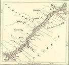
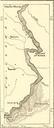
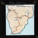
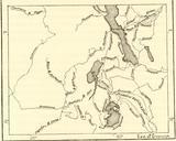
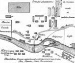
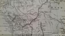
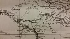
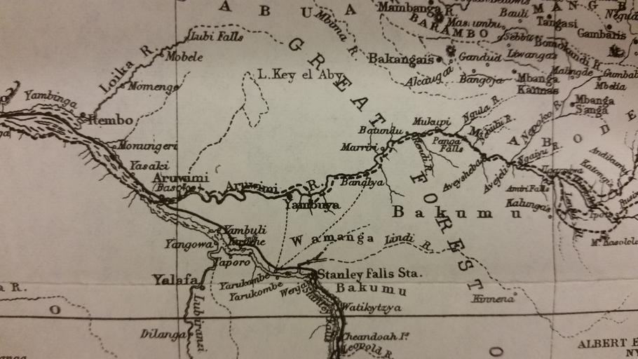
Stanley Falls Map. en Stanley Falls Map Through the Dark Continent Henry Stanley other versions PDold Uploaded with Aruwimi River Old maps of the Democratic Republic of the Congo Through the dark continent or The sources of the Nile around the great lakes of equatorial Africa and down the Livingstone River to the Atlantic Ocean