
Related Images


Download:
| Tiny | 469x128 | View | Download |
| Small | 938x256 | View | Download |
| Medium | 1876x512 | View | Download |
| Original | 3138x856 | View | Download |
This image was acquired from
wikimedia. It was marked as Public Domain or CC0 and is free to use. To verify, go to the source and check the information there.
Looking for more info about this image?
Try a Google Reverse Image Search for it.
Try a Google Reverse Image Search for it.
Keywords from Image Description:
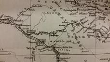
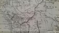
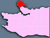
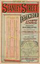
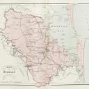
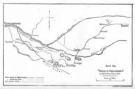
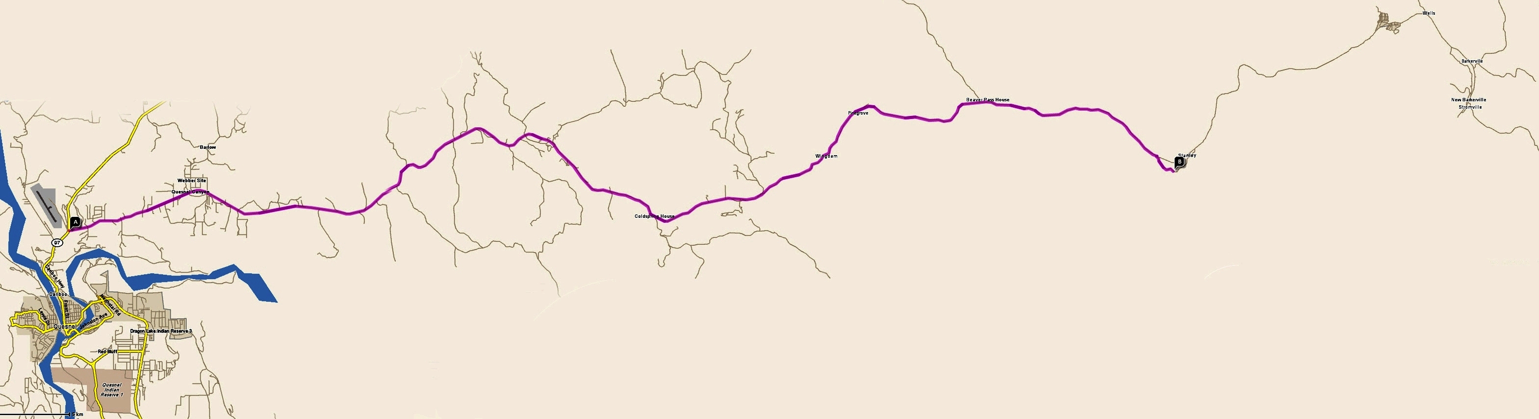
Stanley Map. This map is not intended for travel from Quesnel Highway to the Town of Stanley Wells and Barkerville en Djsasso Ssarjola en Ssarjola Original upload log en StanleyMap Ssarjola bytes no British Columbia Maps of Canada