Related Images

Download:
| Tiny | 156x128 | View | Download |
| Small | 313x256 | View | Download |
| Medium | 626x512 | View | Download |
| Large | 1252x1024 | View | Download |
| Original | 5199x4250 | View | Download |
This image was acquired from
wikimedia. It was marked as Public Domain or CC0 and is free to use. To verify, go to the source and check the information there.
Looking for more info about this image?
Try a Google Reverse Image Search for it.
Try a Google Reverse Image Search for it.
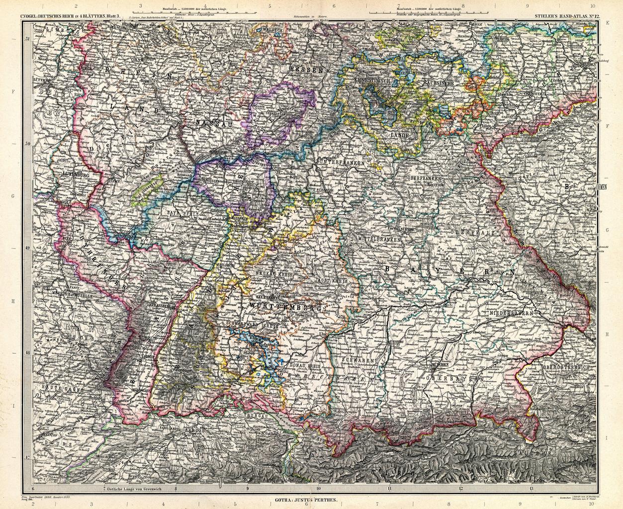
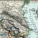
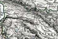
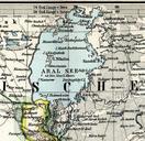
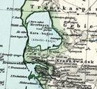
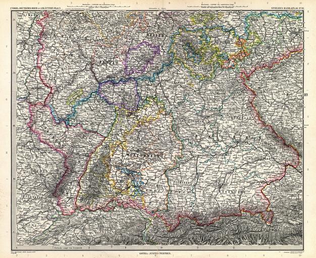
Keywords from Image Description:
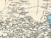
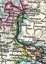
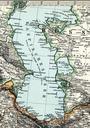
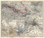
Stielers Handatlas . Deutsches Reich in Blttern Blatt German Empire in sheets sheet Old maps of Bavaria Old maps of BadenWrttemberg Old maps of RhinelandPalatinate Old maps of Hesse Old maps of Saarland