
Related Images

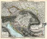
Download:
| Tiny | 152x128 | View | Download |
| Small | 304x256 | View | Download |
| Medium | 608x512 | View | Download |
| Large | 1216x1024 | View | Download |
| Original | 5050x4250 | View | Download |
This image was acquired from
wikimedia. It was marked as Public Domain or CC0 and is free to use. To verify, go to the source and check the information there.
Looking for more info about this image?
Try a Google Reverse Image Search for it.
Try a Google Reverse Image Search for it.
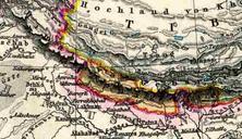
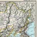
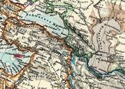
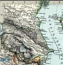
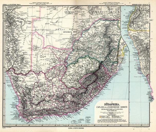
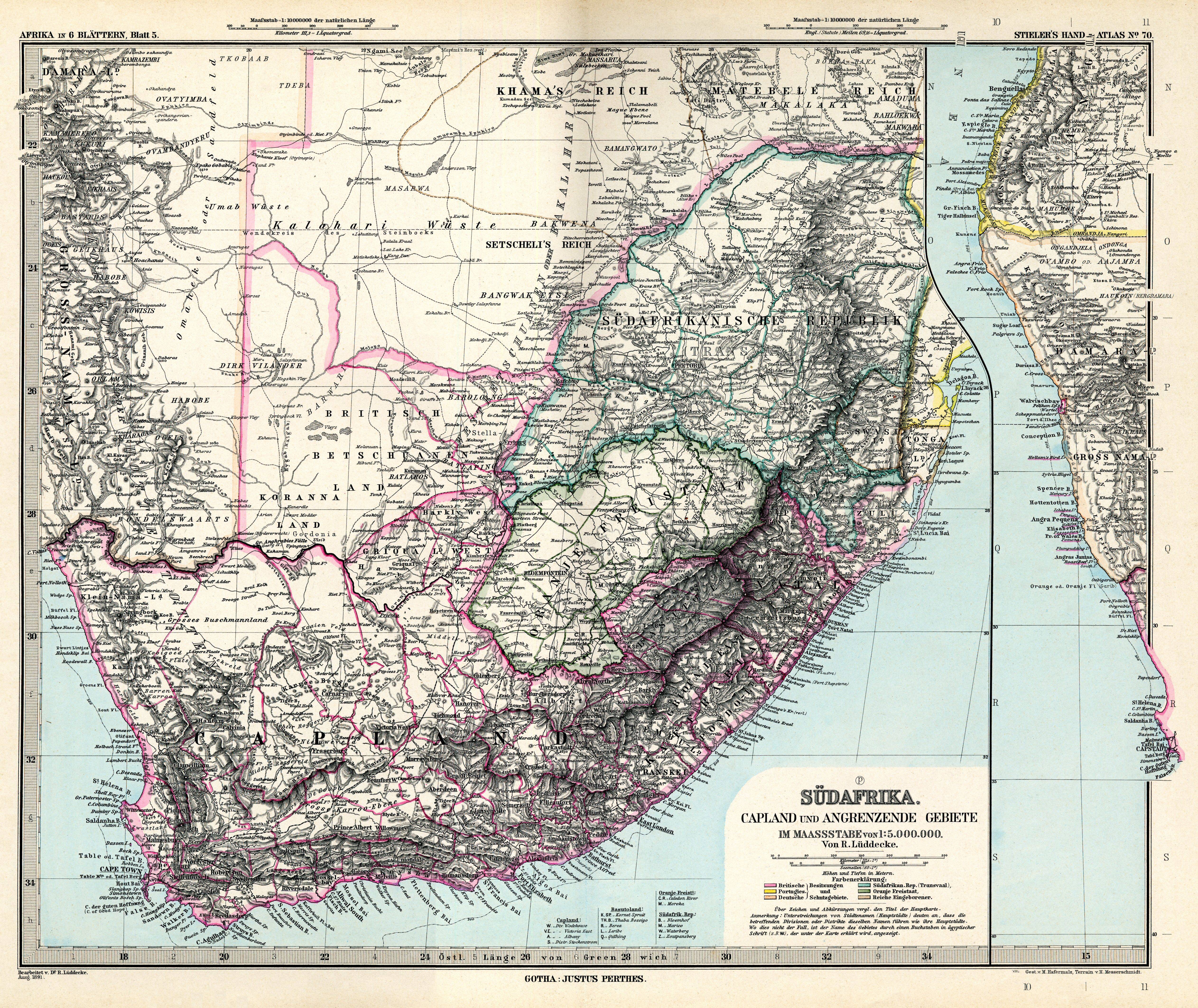
Keywords from Image Description:
Stielers Handatlas . Afrika in Blttern Blatt Sdafrika Capland und angrenzende Gebeite Africa in sheets sheet the Cape and adjacent regions Bearbeitet von Dr Lddecke Gestochen von Hafermalz Terrain Messerschmidt Lddecke Richard Carl Hafermalz Max Messerschmidt Hieronymus Old maps of South Africa