
Related Images


Download:
| Tiny | 107x128 | View | Download |
| Small | 214x256 | View | Download |
| Medium | 429x512 | View | Download |
| Original png | 669x798 | View | Download |
| Original as jpg | 669x798 | View | Download |
This image was acquired from
wikimedia. It was marked as Public Domain or CC0 and is free to use. To verify, go to the source and check the information there.
Looking for more info about this image?
Try a Google Reverse Image Search for it.
Try a Google Reverse Image Search for it.
Keywords from Image Description:
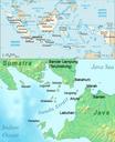
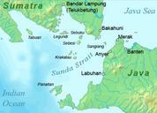
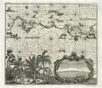
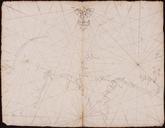
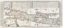
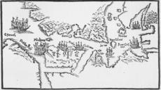
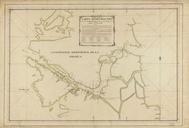
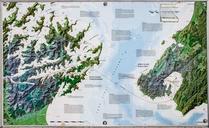
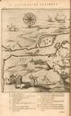
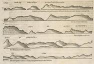
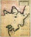
Sunda Strait Map. Pierre Pieter Van der Aa in showing the Sunda Strait The depth is marked by different colours Museum Nasional National Museum of Indonesia Pierre Pieter Van Der Aa PDold Uploaded with Old maps of Indonesia Sunda Strait Pieter van der Aa maps Maps in French