
Related Images


Download:
| Tiny | 184x128 | View | Download |
| Small | 369x256 | View | Download |
| Medium | 738x512 | View | Download |
| Large | 1476x1024 | View | Download |
| Original | 7349x5098 | View | Download |
This image was acquired from
wikimedia. It was marked as Public Domain or CC0 and is free to use. To verify, go to the source and check the information there.
Looking for more info about this image?
Try a Google Reverse Image Search for it.
Try a Google Reverse Image Search for it.
Keywords from Image Description:
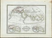
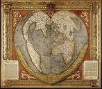
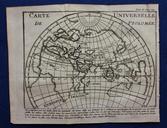
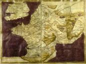
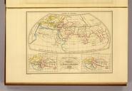
Systemes Geographiques de Ptolemee de Strabon d'Eratosthene. fr Systmes Gographiques de Ptolme de Strabon et d'Eratosthene en The Geographical Systems of Ptolemy Strabo and Eratosthenes single plate with three inset maps of the known world according to three ancient Greek geographers Map from Conrad MalteBrun's Atlas Complet du