Related Images


Download:
| Tiny | 160x128 | View | Download |
| Small | 321x256 | View | Download |
| Medium | 643x512 | View | Download |
| Large | 1286x1024 | View | Download |
| Original | 2100x1672 | View | Download |
This image was acquired from
wikimedia. It was marked as Public Domain or CC0 and is free to use. To verify, go to the source and check the information there.
Looking for more info about this image?
Try a Google Reverse Image Search for it.
Try a Google Reverse Image Search for it.
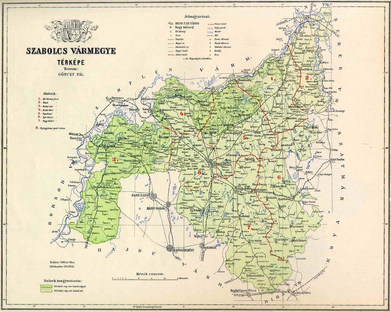
Keywords from Image Description:
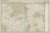
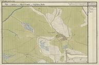
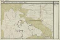
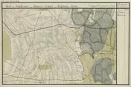
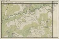
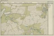
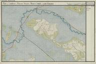
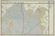
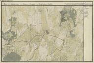
Szabolcs county map. County of Szabolcs in the preTrianon Kingdom of Hungary Komitat Szabolcs Krlestwie Wgier przed traktatem Trianon hu Kp Szabolcs vrmegye trkpe uploaded by hu User Kla not given not given Gnczy Pl PDold Maps of counties in the Kingdom of Hungary Maps by Pl Gnczy Coats of arms on maps Szabolcs County