Download:
| Tiny | 96x128 | View | Download |
| Small | 192x256 | View | Download |
| Medium | 385x512 | View | Download |
| Large | 771x1024 | View | Download |
| Original tiff | 3921x5203 | View | Download |
| Original as jpg | 3921x5203 | View | Download |
This image was acquired from
wikimedia. It was marked as Public Domain or CC0 and is free to use. To verify, go to the source and check the information there.
Looking for more info about this image?
Try a Google Reverse Image Search for it.
Try a Google Reverse Image Search for it.
Keywords from Image Description:
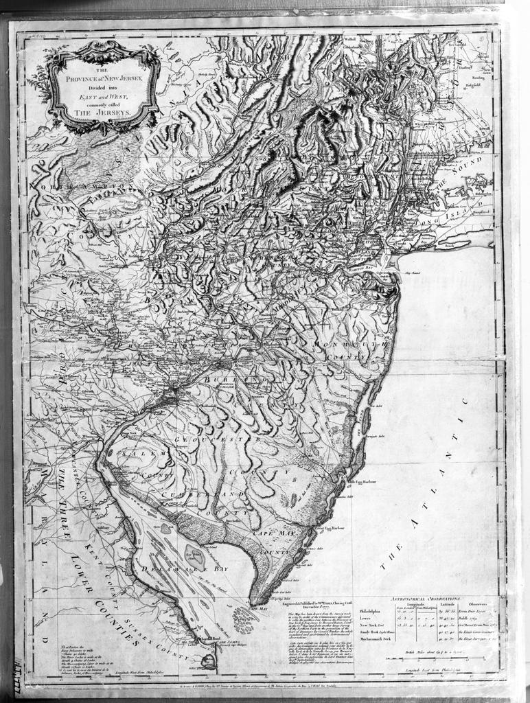
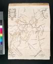
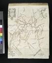
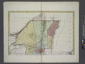
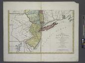
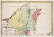
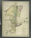
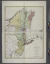
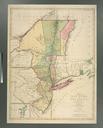
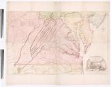
The Province of New Jersey divided into East and West commonly called the Jerseys NYPL bps map . en Shows county boundaries and Division line run in between East New Jersey and West New Jersey Citation LC Maps of North America This map has been drawn from the survey made in by Bernard Ratzer and from another large survey of the
